
 Prostki
Pielgrzymka
Rakoniewice
Pilawa
Kleczew
Gołdap
Ożarowice
Sośnicowice
Kozłowo
Olszanka
Sławków
Maszewo
Bychawa
Kołaczyce
Borowa
Wietrzychowice
Brzostek
Włoszakowice
Szczuczyn
Prostki
Pielgrzymka
Rakoniewice
Pilawa
Kleczew
Gołdap
Ożarowice
Sośnicowice
Kozłowo
Olszanka
Sławków
Maszewo
Bychawa
Kołaczyce
Borowa
Wietrzychowice
Brzostek
Włoszakowice
Szczuczyn
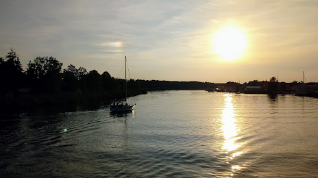
Wolin on the map, Poland
Where is located Wolin
Exact location — Wolin, Kamień County, West Pomeranian Voivodeship, Poland, marked on the map with a red marker.
Coordinates
Wolin, Poland coordinates in decimal format: latitude — 53.8419317, longitude — 14.6143984. When converted to degrees, minutes, seconds Wolin has the following coordinates: 53°50′30.95 north latitude and 14°36′51.83 east longitude.
Population
Wolin, Kamień County, West Pomeranian Voivodeship, Poland, according to our data the population is — 12,438 residents, which is about 0% of the total population of the country (Poland).
Comparison of the population on the graph:
Exact time
Time zone for this location Wolin — UTC +2 Europe/Warsaw. Exact time — saturday, 4 april 2024 year, 18 h. 29 minutes.
Sunrise and sunset
Wolin, sunrise and sunset data for a date — saturday 27.04.2024.
| Sunrise | Sunset | Day (duration) |
|---|---|---|
| 05:36 -3 minutes | 20:21 +2 minutes | 14 h. 48 minutes. +5 minutes |
You can control the scale of the map using the auxiliary tools to find out exactly where it is located Wolin. When you change the scale of the map, the width of the ruler also changes (in kilometers and miles).
Nearby cities
The largest cities that are located nearby:
- Szczecin — 46 km
- Koszalin — 108 km
- Gorzów Wielkopolski — 130 km
- Rostock
 (Germany) — 165 km
 - Berlin (Germany) — 167 km
- Berlin (Germany) — 170 km
- Potsdam (Germany) — 192 km
- Zielona Gora — 219 km
- Malmö
 (Sweden) — 219 km
 - Poznań — 222 km
- Cottbus (Germany) — 231 km
- Bydgoszcz — 239 km
- Copenhagen
 (Denmark) — 240 km
 - Gdynia — 262 km
- Gdańsk — 266 km
- Magdeburg (Germany) — 278 km
- Torun — 280 km
- Kiel (Germany) — 294 km
- Wolfsburg (Germany) — 302 km
Distance to neighboring capitals:
- Berlin (Germany) — 168 km
- Copenhagen (Denmark) — 243 km
- Prague
 (Czech Republic) — 419 km
 - Vienna
 (Austria) — 639 km
 - Bratislava
 (Slovakia) — 657 km
 - Amsterdam
 (Netherlands) — 669 km
 - Rīga
 (Latvia) — 691 km
 - Vilnius
 (Lithuania) — 698 km
 - Budapest
 (Hungary) — 771 km
 - Minsk
 (Belarus) — 848 km
 - Bern
 (Switzerland) — 919 km
 - Helsinki
 (Finland) — 940 km
 - Paris
 (France) — 1014 km
 - Belgrade
 (Serbia) — 1092 km
 - Kyiv
 (Ukraine) — 1147 km
 - Bucharest
 (Romania) — 1337 km
 - Moscow
 (Russia) — 1483 km
 - Tbilisi
 (Georgia) — 2598 km
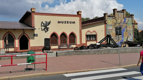
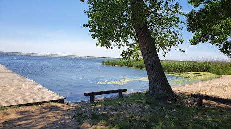
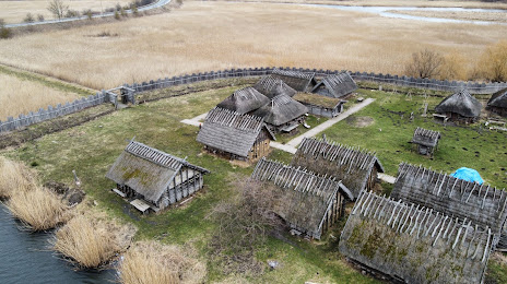
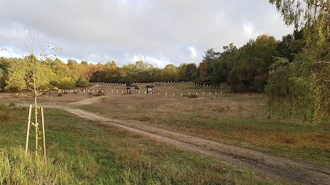
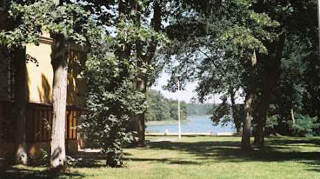
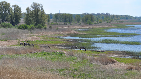
Attractions


Distance to the capital
Distance to the capital (Warsaw) is about — 464 km.