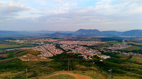
Miranorte — Jundiaí
Miranorte — Minas Gerais
Miranorte — Dracena
Miranorte — Matinhos
Miranorte — Quintão
Miranorte — Toropi
Miranorte — Campo Grande International Airport
Miranorte — Nova Floresta
Miranorte — Planaltina
Miranorte — Cruz do Espírito Santo
Miranorte — Iapu
Miranorte — Barcelos
Miranorte — Soledade
Miranorte — Olímpia
Miranorte — Valparaíso
Miranorte — Bagre
Miranorte — Manoel Viana
Miranorte — Canarana
Miranorte — Pitanga
Gurupi
Cariri do Tocantins
Porangatu
Uruaçu
Carro
Anápolis
Anápolis
Goianápolis
Goiânia Airport
Goiânia
Hidrolândia
Morrinhos
Itumbiara
Araporã
Centralina
Prata
Campo Florido
Uberaba
Igarapava
Aramina
Franca
Patrocínio Paulista
Capetinga
Passos
Miranorte — Carmo do Rio Claro distance, route on the map
Distance by car
Distance between Miranorte, Tocantins, Brazil and Carmo do Rio Claro, Minas Gerais, Brazil by car is — km, or miles. To travel this distance by car, you need minute, or h.
Route on the map, driving directions
Car route Miranorte — Carmo do Rio Claro was created automatically. The road on the map is shown as a blue line. By moving the markers, you can create a new route through the points you need.
Passing cities through which the car route passes: Paraíso do Tocantins, Gurupi, Cariri do Tocantins, Porangatu, Uruaçu, Carro, Anápolis, Anápolis, Goianápolis, Goiânia Airport, Goiânia, Hidrolândia, Morrinhos, Itumbiara, Araporã, Centralina, Prata, Campo Florido, Uberaba, Igarapava, Aramina, Franca, Patrocínio Paulista, Capetinga, Passos.
Distance by plane
If you decide to take a trip Miranorte Carmo do Rio Claro by plane, then you have to fly the distance — 1300 km or 806 miles. It is marked on the map with a gray line (between two points in a straight line).
Flight time
Estimated flight time Miranorte Carmo do Rio Claro by plane at cruising speed 750 km / h will be — 1 h. and 44 min.
Direction of movement
Brazil, Miranorte — right-hand traffic. Brazil, Carmo do Rio Claro — right-hand traffic.
Difference in time
Miranorte and Carmo do Rio Claro are in the same time zone. Between them there is no time difference (UTC -3 America/Fortaleza).
Interesting Facts
Information on alternative ways to get to your destination.
The length of this distance is about 3.2% of the total length of the equator.
The percentage of the population is clearly shown in the graph:
Miranorte — 12,446 (less by 2,000), Carmo do Rio Claro — 14,446 residents.
The cost of travel
Calculate the cost of the trip yourself using the fuel consumption calculator, changing the data in the table.