Itatiaiuçu — Ribeirão das Neves
Itatiaiuçu — Caatinga
Itatiaiuçu — Frutal
Itatiaiuçu — Raul Soares
Itatiaiuçu — Hat Hill
Itatiaiuçu — Saint Andrew
Itatiaiuçu — Torrinha
Itatiaiuçu — São Pedro
Itatiaiuçu — Mallet
Itatiaiuçu — Ruças
Itatiaiuçu — Pantano Grande
Itatiaiuçu — Barbalha
Itatiaiuçu — Ribeira do Pombal
Itatiaiuçu — Macau
Itatiaiuçu — Indaiatuba
Itatiaiuçu — Elísio Medrado
Itatiaiuçu — Itu
Itatiaiuçu — Km 47
Itatiaiuçu — Rio Largo
São Joaquim de Bicas
Betim
Contagem
Barreiro
Calafate
Prado
Jaraguá
Sabará
Nova União
João Monlevade
Nova Era
Timóteo
Coronel Fabriciano
Ipatinga
Santana do Paraíso
Ipaba
Naque
Valadares Governor
Galiléia
Galiléia
Resplendor
Itueta
Baixo Guandu
Colatina
João Neiva
Ibiraçu
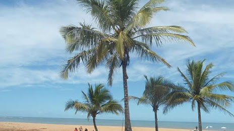
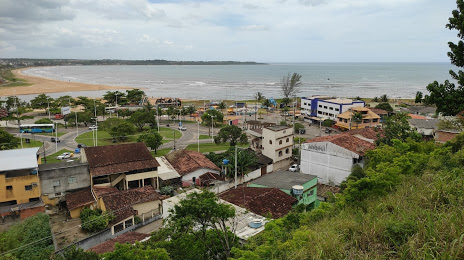
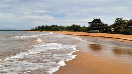
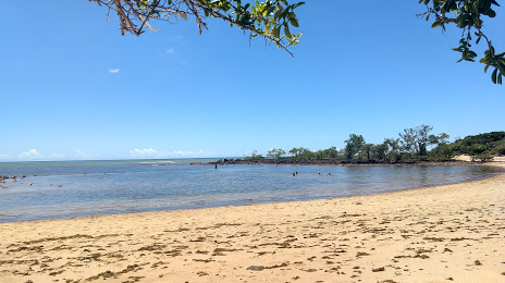
Itatiaiuçu — Aracruz distance, route on the map
Distance by car
Distance between Itatiaiuçu, Minas Gerais, Brazil and Aracruz, Espírito Santo, Brazil by car is — km, or miles. To travel this distance by car, you need minute, or h.
Route on the map, driving directions
Car route Itatiaiuçu — Aracruz was created automatically. The road on the map is shown as a blue line. By moving the markers, you can create a new route through the points you need.
Passing cities through which the car route passes: Igarapé, São Joaquim de Bicas, Betim, Contagem, Barreiro, Calafate, Prado, Jaraguá, Sabará, Nova União, João Monlevade, Nova Era, Timóteo, Coronel Fabriciano, Ipatinga, Santana do Paraíso, Ipaba, Naque, Valadares Governor, Galiléia, Galiléia, Resplendor, Itueta, Baixo Guandu, Colatina, João Neiva, Ibiraçu.
Distance by plane
If you decide to take a trip Itatiaiuçu Aracruz by plane, then you have to fly the distance — 435 km or 270 miles. It is marked on the map with a gray line (between two points in a straight line).
Flight time
Estimated flight time Itatiaiuçu Aracruz by plane at cruising speed 750 km / h will be — 34 min.
Direction of movement
Brazil, Itatiaiuçu — right-hand traffic. Brazil, Aracruz — right-hand traffic.
Difference in time
Itatiaiuçu and Aracruz are in the same time zone. Between them there is no time difference (UTC -3 America/Sao_Paulo).
Interesting Facts
Information on alternative ways to get to your destination.
The length of this distance is about 1.1% of the total length of the equator.
The percentage of the population is clearly shown in the graph:
Itatiaiuçu — 8,243 (less by 50,029), Aracruz — 58,272 residents.
The cost of travel
Calculate the cost of the trip yourself using the fuel consumption calculator, changing the data in the table.