
 Maureville
Samoëns
Gréning
Toulouse
Volx
Goudet
Méhoncourt
Saint-Hymer
Pontcarré
Maureville
Samoëns
Gréning
Toulouse
Volx
Goudet
Méhoncourt
Saint-Hymer
Pontcarré
Sorgue on the map, Sorgues, France
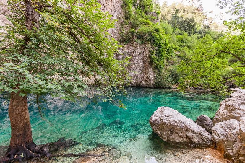
Photo
Where is located Sorgue
Sorgue — local attraction, which is located at 18.1 m³/s and belongs to the category — -. Average visitor rating for this place — 4.2 (according to 30 ratings, information from open sources and relevant for 2022).
Exact location — Sorgue, marked on the map with a red marker.
You can get directions to Sorgue on the map from your location.
What else is interesting in Sorgues? You can see all the sights if you go to the city page.
Coordinates
Sorgue, France coordinates in decimal format: latitude — 43.97151584042541, longitude — 4.992850439051441. When converted to degrees, minutes, seconds Sorgue has the following coordinates: 43°58′17.46 north latitude and 4°59′34.26 east longitude.
Nearby cities
The largest cities that are located nearby:
- Nimes — 45 km
- Aix-en-Provence — 70 km
- Marseille — 88 km
- Montpellier — 91 km
- Toulon — 130 km
- Grenoble — 146 km
- Saint-Étienne — 163 km
- Nice — 194 km
- Lyon — 194 km
- Villeurbanne — 195 km
- Perpignan — 217 km
- Clermont-Ferrand — 239 km
- Turin
 (Italy) — 249 km
 - Geneva
 (Switzerland) — 261 km
 - Toulouse — 278 km
- Lausanne (Switzerland) — 308 km
- Genoa (Italy) — 325 km
- Novara (Italy) — 331 km
- Mataró
 (Spain) — 339 km
Distance to the capital
Distance to the capital (Paris) is about — 580 km.