
 Le Creusot
Veigné
Péronne
Bondues
Ferney-Voltaire
Périgueux
Margaux
Obernai
Richelieu
Salon-la-Tour
Angerville
Bischwiller
Villefontaine
Noailles
Noisiel
Tignes
Lunel
Alfortville
Lezennes
Le Creusot
Veigné
Péronne
Bondues
Ferney-Voltaire
Périgueux
Margaux
Obernai
Richelieu
Salon-la-Tour
Angerville
Bischwiller
Villefontaine
Noailles
Noisiel
Tignes
Lunel
Alfortville
Lezennes
Sorgues on the map, France
Where is located Sorgues
Exact location — Sorgues, Vaucluse, Provence-Alpes-Côte d'Azur, France, marked on the map with a red marker.
Coordinates
Sorgues, France coordinates in decimal format: latitude — 44.008767, longitude — 4.872757. When converted to degrees, minutes, seconds Sorgues has the following coordinates: 44°0′31.56 north latitude and 4°52′21.93 east longitude.
Population
Sorgues, Vaucluse, Provence-Alpes-Côte d'Azur, France, according to our data the population is — 17,978 residents, which is about 0% of the total population of the country (France).
Comparison of the population on the graph:
Exact time
Time zone for this location Sorgues — UTC +2 Europe/Paris. Exact time — tuesday, 5 may 2024 year, 17 h. 02 minutes.
Sunrise and sunset
Sorgues, sunrise and sunset data for a date — tuesday 7.05.2024.
| Sunrise | Sunset | Day (duration) |
|---|---|---|
| 06:26 -1 minute | 20:47 +1 minute | 14 h. 24 minutes. +2 minutes |
You can control the scale of the map using the auxiliary tools to find out exactly where it is located Sorgues. When you change the scale of the map, the width of the ruler also changes (in kilometers and miles).
Nearby cities
The largest cities that are located nearby:
- Nimes — 45 km
- Aix-en-Provence — 70 km
- Marseille — 88 km
- Montpellier — 91 km
- Toulon — 130 km
- Grenoble — 146 km
- Saint-Étienne — 163 km
- Nice — 194 km
- Lyon — 194 km
- Villeurbanne — 195 km
- Perpignan — 217 km
- Clermont-Ferrand — 239 km
- Turin
 (Italy) — 249 km
 - Geneva
 (Switzerland) — 261 km
 - Toulouse — 278 km
- Lausanne (Switzerland) — 308 km
- Genoa (Italy) — 325 km
- Novara (Italy) — 331 km
- Mataró
 (Spain) — 339 km
Distance to neighboring capitals:
- Andorra la Vella
 (Andorra) — 319 km
 - Bern (Switzerland) — 383 km
- Vaduz
 (Liechtenstein) — 502 km
 - Rome (Italy) — 663 km
- Brussels
 (Belgium) — 762 km
 - Madrid (Spain) — 811 km
- London
 (United Kingdom) — 913 km
 - Amsterdam
 (Netherlands) — 930 km
 - Prague
 (Czech Republic) — 989 km
 - Vienna
 (Austria) — 1001 km
 - Berlin
 (Germany) — 1136 km
 - Lisbon
 (Portugal) — 1307 km
 - Copenhagen
 (Denmark) — 1408 km
 - Warsaw
 (Poland) — 1502 km
 - Nicosia
 — 2616 km
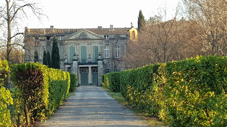
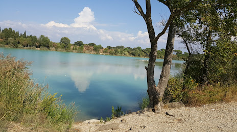
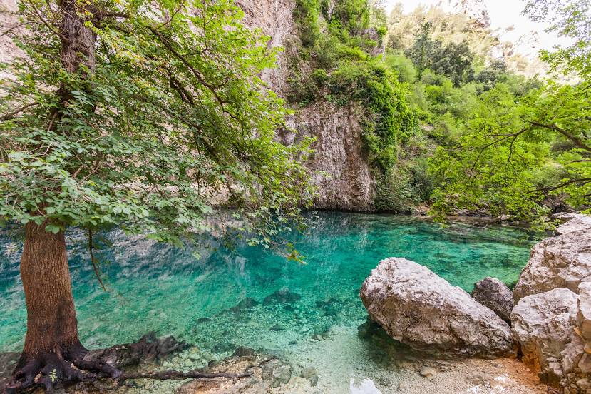
Attractions


Distance to the capital
Distance to the capital (Paris) is about — 573 km.