
 L'Alpe d'Huez
Sorgues
Thionville
Les Gets
Caissargues
Ingersheim
Hossegor
Chantepie
Chelles
Rochefort
Quetigny
Craponne
Claix
Morzine
Morlaix
Montbéliard
Millau
Lamont
Seyssins
L'Alpe d'Huez
Sorgues
Thionville
Les Gets
Caissargues
Ingersheim
Hossegor
Chantepie
Chelles
Rochefort
Quetigny
Craponne
Claix
Morzine
Morlaix
Montbéliard
Millau
Lamont
Seyssins
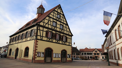
Bischwiller on the map, France
Where is located Bischwiller
Exact location — Bischwiller, Bas-Rhin, Alsace, France, marked on the map with a red marker.
Coordinates
Bischwiller, France coordinates in decimal format: latitude — 48.768088, longitude — 7.860032. When converted to degrees, minutes, seconds Bischwiller has the following coordinates: 48°46′5.12 north latitude and 7°51′36.12 east longitude.
Population
Bischwiller, Bas-Rhin, Alsace, France, according to our data the population is — 12,109 residents, which is about 0% of the total population of the country (France).
Comparison of the population on the graph:
Exact time
Time zone for this location Bischwiller — UTC +2 Europe/Paris. Exact time — monday, 5 may 2024 year, 15 h. 04 minutes.
Sunrise and sunset
Bischwiller, sunrise and sunset data for a date — monday 13.05.2024.
| Sunrise | Sunset | Day (duration) |
|---|---|---|
| 05:52 -2 minutes | 20:56 +1 minute | 15 h. 6 minutes. +3 minutes |
You can control the scale of the map using the auxiliary tools to find out exactly where it is located Bischwiller. When you change the scale of the map, the width of the ruler also changes (in kilometers and miles).
Nearby cities
The largest cities that are located nearby:
- Strasbourg — 23 km
- Karlsruhe
 (Germany) — 47 km
 - Pforzheim (Germany) — 62 km
- Saarbrücken (Germany) — 81 km
- Freiburg (Germany) — 85 km
- Ludwigshafen (Germany) — 89 km
- Mannheim (Germany) — 91 km
- Heidelberg (Germany) — 91 km
- Stuttgart (Germany) — 96 km
- Reutlingen (Germany) — 103 km
- Heilbronn (Germany) — 106 km
- Mulhouse — 119 km
- Nancy — 123 km
- Metz — 128 km
- Basel
 (Switzerland) — 134 km
 - Darmstadt (Germany) — 135 km
- Mainz (Germany) — 138 km
- Trier (Germany) — 139 km
- Wiesbaden (Germany) — 147 km
Distance to neighboring capitals:
- Bern (Switzerland) — 205 km
- Vaduz
 (Liechtenstein) — 219 km
 - Brussels
 (Belgium) — 342 km
 - Amsterdam
 (Netherlands) — 452 km
 - Prague
 (Czech Republic) — 497 km
 - Berlin (Germany) — 572 km
- Vienna
 (Austria) — 630 km
 - London
 (United Kingdom) — 645 km
 - Copenhagen
 (Denmark) — 832 km
 - Rome
 (Italy) — 845 km
 - Andorra la Vella
 (Andorra) — 853 km
 - Warsaw
 (Poland) — 1005 km
 - Madrid
 (Spain) — 1302 km
 - Lisbon
 (Portugal) — 1758 km
 - Nicosia
 — 2576 km
Attractions
Distance to the capital
Distance to the capital (Paris) is about — 403 km.