
 Lunel
Tignes
Noisiel
Noailles
Villefontaine
Bischwiller
Angerville
Salon-la-Tour
Saint-Aignan
Épernon
Fourmies
Graulhet
Louvroil
Hœrdt
Saint-Cergues
Carvin
Salbris
Trignac
Saint-Thonan
Lunel
Tignes
Noisiel
Noailles
Villefontaine
Bischwiller
Angerville
Salon-la-Tour
Saint-Aignan
Épernon
Fourmies
Graulhet
Louvroil
Hœrdt
Saint-Cergues
Carvin
Salbris
Trignac
Saint-Thonan
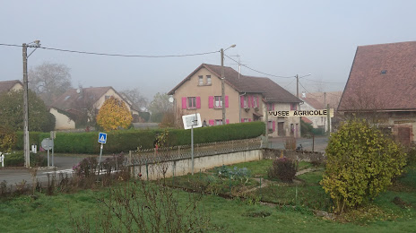
Montbéliard on the map, France
Where is located Montbéliard
Exact location — Montbéliard, Doubs, Franche-Comté, France, marked on the map with a red marker.
Coordinates
Montbéliard, France coordinates in decimal format: latitude — 47.510356, longitude — 6.798466. When converted to degrees, minutes, seconds Montbéliard has the following coordinates: 47°30′37.28 north latitude and 6°47′54.48 east longitude.
Population
Montbéliard, Doubs, Franche-Comté, France, according to our data the population is — 26,895 residents, which is about 0% of the total population of the country (France).
Comparison of the population on the graph:
Exact time
Time zone for this location Montbéliard — UTC +2 Europe/Paris. Exact time — friday, 5 may 2024 year, 06 h. 45 minutes.
Sunrise and sunset
Montbéliard, sunrise and sunset data for a date — friday 10.05.2024.
| Sunrise | Sunset | Day (duration) |
|---|---|---|
| 06:05 -1 minute | 20:53 +2 minutes | 14 h. 48 minutes. +3 minutes |
You can control the scale of the map using the auxiliary tools to find out exactly where it is located Montbéliard. When you change the scale of the map, the width of the ruler also changes (in kilometers and miles).
Nearby cities
The largest cities that are located nearby:
- Mulhouse — 48 km
- Basel
 (Switzerland) — 60 km
 - Besançon — 65 km
- Bern (Switzerland) — 79 km
- Freiburg
 (Germany) — 94 km
 - Lausanne (Switzerland) — 110 km
- Zurich (Switzerland) — 131 km
- Dijon — 133 km
- Strasbourg — 137 km
- Nancy — 138 km
- Geneva (Switzerland) — 154 km
- Metz — 184 km
- Saarbrücken (Germany) — 192 km
- Karlsruhe (Germany) — 202 km
- Pforzheim (Germany) — 206 km
- Reutlingen (Germany) — 208 km
- Stuttgart (Germany) — 223 km
- Villeurbanne — 242 km
- Lyon — 245 km
Distance to neighboring capitals:
- Bern (Switzerland) — 79 km
- Vaduz
 (Liechtenstein) — 209 km
 - Brussels
 (Belgium) — 412 km
 - Amsterdam
 (Netherlands) — 557 km
 - Prague
 (Czech Republic) — 628 km
 - London
 (United Kingdom) — 669 km
 - Andorra la Vella
 (Andorra) — 694 km
 - Vienna
 (Austria) — 718 km
 - Berlin (Germany) — 730 km
- Rome
 (Italy) — 769 km
 - Copenhagen
 (Denmark) — 991 km
 - Warsaw
 (Poland) — 1144 km
 - Madrid
 (Spain) — 1151 km
 - Lisbon
 (Portugal) — 1616 km
 - Nicosia
 — 2590 km
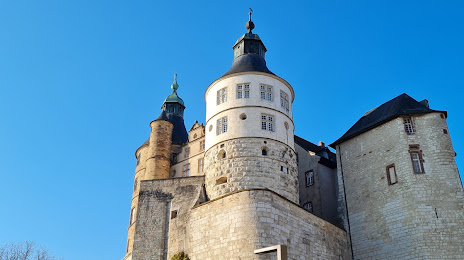
Attractions


Distance to the capital
Distance to the capital (Paris) is about — 362 km.