
 Wiesengrund
Twist
Gill
Puls
Lage
Dippoldiswalde
Zeven
Geisenheim
Niederviehbach
Osterburg
Oberstdorf
Marktheidenfeld
Nentershausen
Bad Wörishofen
Pfarrkirchen
Utting
Norden
Vöhringen
Waren
Wiesengrund
Twist
Gill
Puls
Lage
Dippoldiswalde
Zeven
Geisenheim
Niederviehbach
Osterburg
Oberstdorf
Marktheidenfeld
Nentershausen
Bad Wörishofen
Pfarrkirchen
Utting
Norden
Vöhringen
Waren
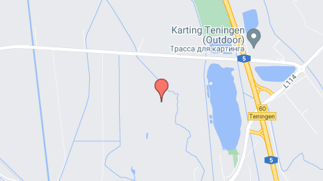
Emmendingen on the map, Germany
Where is located Emmendingen
Exact location — Emmendingen, Freiburg, Baden-Württemberg, Germany, marked on the map with a red marker.
Coordinates
Emmendingen, Germany coordinates in decimal format: latitude — 48.1170918, longitude — 7.8539047. When converted to degrees, minutes, seconds Emmendingen has the following coordinates: 48°7′1.53 north latitude and 7°51′14.06 east longitude.
Population
Emmendingen, Freiburg, Baden-Württemberg, Germany, according to our data the population is — 26,820 residents, which is about 0% of the total population of the country (Germany).
Comparison of the population on the graph:
Exact time
Time zone for this location Emmendingen — UTC +2 Europe/Berlin. Exact time — monday, 4 april 2024 year, 06 h. 00 minutes.
Sunrise and sunset
Emmendingen, sunrise and sunset data for a date — monday 29.04.2024.
| Sunrise | Sunset | Day (duration) |
|---|---|---|
| 06:16 -1 minute | 20:35 +1 minute | 14 h. 18 minutes. +2 minutes |
You can control the scale of the map using the auxiliary tools to find out exactly where it is located Emmendingen. When you change the scale of the map, the width of the ruler also changes (in kilometers and miles).
Nearby cities
The largest cities that are located nearby:
- Freiburg — 13 km
- Strasbourg
 (France) — 51 km
 - Mulhouse (France) — 56 km
- Basel
 (Switzerland) — 64 km
 - Zurich (Switzerland) — 97 km
- Pforzheim — 105 km
- Karlsruhe — 106 km
- Reutlingen — 108 km
- Stuttgart — 121 km
- Bern (Switzerland) — 133 km
- Nancy (France) — 137 km
- Saarbrücken — 139 km
- Heilbronn — 150 km
- Heidelberg — 153 km
- Ludwigshafen — 156 km
- Mannheim — 158 km
- Ulm — 160 km
- Metz (France) — 164 km
- Besançon (France) — 168 km
Distance to neighboring capitals:
- Bern (Switzerland) — 134 km
- Vaduz
 (Liechtenstein) — 165 km
 - Brussels
 (Belgium) — 395 km
 - Paris (France) — 414 km
- Paris (France) — 414 km
- Amsterdam
 (Netherlands) — 518 km
 - Prague
 (Czech Republic) — 526 km
 - Ljubljana
 (Slovenia) — 553 km
 - Vienna
 (Austria) — 632 km
 - Rome
 (Italy) — 781 km
 - Copenhagen
 (Denmark) — 900 km
 - Warsaw
 (Poland) — 1041 km
 - Oslo
 (Norway) — 1325 km
 - Stockholm
 (Sweden) — 1407 km
 - Minsk
 (Belarus) — 1515 km
 - Kyiv
 (Ukraine) — 1658 km
 - Helsinki
 (Finland) — 1732 km
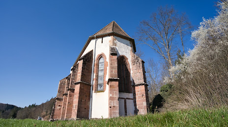
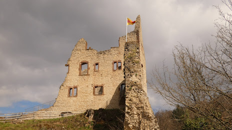
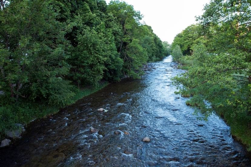
Attractions


Distance to the capital
Distance to the capital (Berlin) is about — 628 km.