
 Maureville
Samoëns
Gréning
Toulouse
Volx
Goudet
Méhoncourt
Saint-Hymer
Pontcarré
Maureville
Samoëns
Gréning
Toulouse
Volx
Goudet
Méhoncourt
Saint-Hymer
Pontcarré
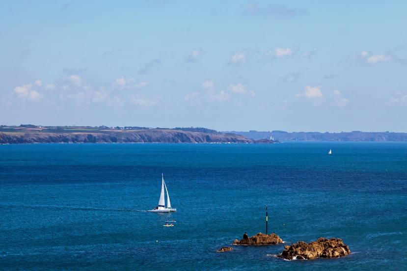
Roadstead of Brest on the map, Plougastel-Daoulas, France
Photo
Where is located Roadstead of Brest
Roadstead of Brest — local attraction, which is located at Île Longue, Île de Térénez, Île Ronde, Île de Tibidy, Île d'Arun and belongs to the category — -. Average visitor rating for this place — 4.6 (according to 30 ratings, information from open sources and relevant for 2022).
Exact location — Roadstead of Brest, marked on the map with a red marker.
You can get directions to Roadstead of Brest on the map from your location.
What else is interesting in Plougastel-Daoulas? You can see all the sights if you go to the city page.
Coordinates
Roadstead of Brest, France coordinates in decimal format: latitude — 48.337177371856214, longitude — -4.482558098315116. When converted to degrees, minutes, seconds Roadstead of Brest has the following coordinates: 48°20′13.84 north latitude and -4°28′57.21 east longitude.
Nearby cities
The largest cities that are located nearby:
- Brest — 9 km
- Rennes — 201 km
- Nantes — 247 km
- Exeter
 (United Kingdom) — 266 km
 - Angers — 301 km
- Caen — 302 km
- Bournemouth (United Kingdom) — 312 km
- Le Mans — 340 km
- Le Havre — 345 km
- Southampton (United Kingdom) — 348 km
- Portsmouth (United Kingdom) — 354 km
- Bristol (Great Britain) — 362 km
- Tours — 393 km
- Swindon (United Kingdom) — 394 km
- Rouen — 411 km
- Reading (United Kingdom) — 413 km
- Crawley (United Kingdom) — 419 km
- Eastbourne (United Kingdom) — 420 km
- Cheltenham (United Kingdom) — 420 km
Distance to the capital
Distance to the capital (Paris) is about — 506 km.