
 Floirac
Mâcon
Ballon
Fumel
Thyez
La Garde
Mamers
Couëron
Paimpont
Quiberon
Bapaume
Valentigney
Enghien-les-Bains
Gray
Orthez
Montluçon
Morillon
Saint-Gilles
Vétraz-Monthoux
Floirac
Mâcon
Ballon
Fumel
Thyez
La Garde
Mamers
Couëron
Paimpont
Quiberon
Bapaume
Valentigney
Enghien-les-Bains
Gray
Orthez
Montluçon
Morillon
Saint-Gilles
Vétraz-Monthoux
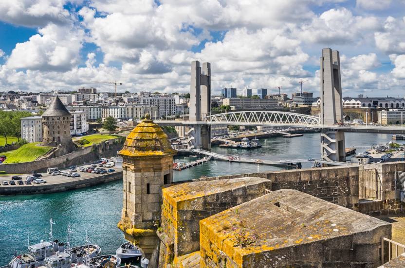
Plougastel-Daoulas on the map, France
Where is located Plougastel-Daoulas
Exact location — Plougastel-Daoulas, Finistere, Brittany, France, marked on the map with a red marker.
Coordinates
Plougastel-Daoulas, France coordinates in decimal format: latitude — 48.374051, longitude — -4.369108. When converted to degrees, minutes, seconds Plougastel-Daoulas has the following coordinates: 48°22′26.58 north latitude and -4°22′8.79 east longitude.
Population
Plougastel-Daoulas, Finistere, Brittany, France, according to our data the population is — 13,128 residents, which is about 0% of the total population of the country (France).
Comparison of the population on the graph:
Exact time
Time zone for this location Plougastel-Daoulas — UTC +2 Europe/Paris. Exact time — friday, 5 may 2024 year, 22 h. 11 minutes.
Sunrise and sunset
Plougastel-Daoulas, sunrise and sunset data for a date — friday 17.05.2024.
| Sunrise | Sunset | Day (duration) |
|---|---|---|
| 06:38 -1 minute | 21:49 +1 minute | 15 h. 12 minutes. +2 minutes |
You can control the scale of the map using the auxiliary tools to find out exactly where it is located Plougastel-Daoulas. When you change the scale of the map, the width of the ruler also changes (in kilometers and miles).
Nearby cities
The largest cities that are located nearby:
- Brest — 9 km
- Rennes — 201 km
- Nantes — 247 km
- Exeter
 (United Kingdom) — 266 km
 - Angers — 301 km
- Caen — 302 km
- Bournemouth (United Kingdom) — 312 km
- Le Mans — 340 km
- Le Havre — 345 km
- Southampton (United Kingdom) — 348 km
- Portsmouth (United Kingdom) — 354 km
- Bristol (Great Britain) — 362 km
- Tours — 393 km
- Swindon (United Kingdom) — 394 km
- Rouen — 411 km
- Reading (United Kingdom) — 413 km
- Crawley (United Kingdom) — 419 km
- Eastbourne (United Kingdom) — 420 km
- Cheltenham (United Kingdom) — 420 km
Distance to neighboring capitals:
- London (United Kingdom) — 462 km
- Brussels
 (Belgium) — 686 km
 - Amsterdam
 (Netherlands) — 792 km
 - Andorra la Vella
 (Andorra) — 798 km
 - Madrid
 (Spain) — 887 km
 - Bern
 (Switzerland) — 898 km
 - Vaduz
 (Liechtenstein) — 1046 km
 - Lisbon
 (Portugal) — 1140 km
 - Berlin
 (Germany) — 1336 km
 - Prague
 (Czech Republic) — 1375 km
 - Copenhagen
 (Denmark) — 1409 km
 - Rome
 (Italy) — 1502 km
 - Vienna
 (Austria) — 1530 km
 - Warsaw
 (Poland) — 1843 km
 - Nicosia
 — 3413 km
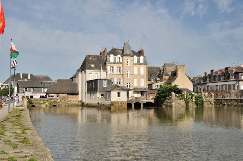
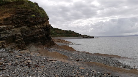
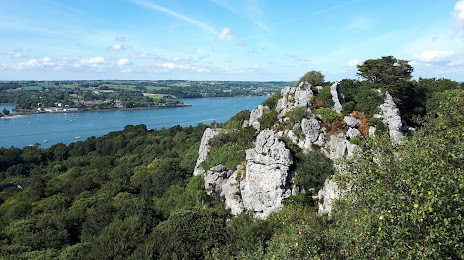
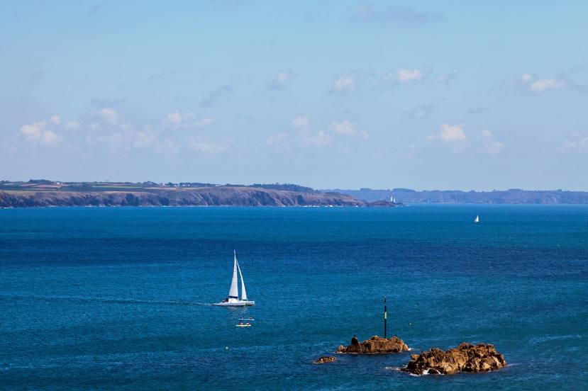
Attractions

Distance to the capital
Distance to the capital (Paris) is about — 497 km.