
 Dourdan
Plougastel-Daoulas
Brioude
Remiremont
Amnéville
Aime
Mundolsheim
Anglet
Gien
Dieppe
Woippy
Sevran
Richelieu
Obernai
Margaux
Périgueux
Ferney-Voltaire
Bondues
Péronne
Dourdan
Plougastel-Daoulas
Brioude
Remiremont
Amnéville
Aime
Mundolsheim
Anglet
Gien
Dieppe
Woippy
Sevran
Richelieu
Obernai
Margaux
Périgueux
Ferney-Voltaire
Bondues
Péronne
Valentigney on the map, France
Where is located Valentigney
Exact location — Valentigney, Doubs, Franche-Comté, France, marked on the map with a red marker.
Coordinates
Valentigney, France coordinates in decimal format: latitude — 47.4614199, longitude — 6.837516. When converted to degrees, minutes, seconds Valentigney has the following coordinates: 47°27′41.11 north latitude and 6°50′15.06 east longitude.
Population
Valentigney, Doubs, Franche-Comté, France, according to our data the population is — 12,221 residents, which is about 0% of the total population of the country (France).
Comparison of the population on the graph:
Exact time
Time zone for this location Valentigney — UTC +2 Europe/Paris. Exact time — tuesday, 5 may 2024 year, 22 h. 21 minute.
Sunrise and sunset
Valentigney, sunrise and sunset data for a date — tuesday 14.05.2024.
| Sunrise | Sunset | Day (duration) |
|---|---|---|
| 06:00 -1 minute | 20:57 +1 minute | 15 h. 0 minutes. +2 minutes |
You can control the scale of the map using the auxiliary tools to find out exactly where it is located Valentigney. When you change the scale of the map, the width of the ruler also changes (in kilometers and miles).
Nearby cities
The largest cities that are located nearby:
- Mulhouse — 49 km
- Basel
 (Switzerland) — 58 km
 - Besançon — 66 km
- Bern (Switzerland) — 73 km
- Freiburg
 (Germany) — 95 km
 - Lausanne (Switzerland) — 105 km
- Zurich (Switzerland) — 128 km
- Dijon — 135 km
- Strasbourg — 140 km
- Nancy — 144 km
- Geneva (Switzerland) — 149 km
- Metz — 189 km
- Saarbrücken (Germany) — 197 km
- Karlsruhe (Germany) — 205 km
- Pforzheim (Germany) — 208 km
- Reutlingen (Germany) — 208 km
- Stuttgart (Germany) — 224 km
- Villeurbanne — 240 km
- Lyon — 243 km
Distance to neighboring capitals:
- Bern (Switzerland) — 73 km
- Vaduz
 (Liechtenstein) — 205 km
 - Brussels
 (Belgium) — 418 km
 - Amsterdam
 (Netherlands) — 563 km
 - Prague
 (Czech Republic) — 628 km
 - London
 (United Kingdom) — 675 km
 - Andorra la Vella
 (Andorra) — 691 km
 - Vienna
 (Austria) — 716 km
 - Berlin (Germany) — 732 km
- Rome
 (Italy) — 763 km
 - Copenhagen
 (Denmark) — 995 km
 - Warsaw
 (Poland) — 1144 km
 - Madrid
 (Spain) — 1150 km
 - Lisbon
 (Portugal) — 1616 km
 - Nicosia
 — 2585 km
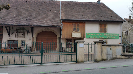
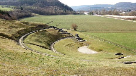
Attractions
Distance to the capital
Distance to the capital (Paris) is about — 367 km.