
 Montbrison
Corrèze
Aimargues
Williers
Dourdan
Plougastel-Daoulas
Brioude
Remiremont
Amnéville
Obernai
Margaux
Périgueux
Ferney-Voltaire
Bondues
Péronne
Veigné
Le Creusot
Pont-de-Vaux
Embrun
Montbrison
Corrèze
Aimargues
Williers
Dourdan
Plougastel-Daoulas
Brioude
Remiremont
Amnéville
Obernai
Margaux
Périgueux
Ferney-Voltaire
Bondues
Péronne
Veigné
Le Creusot
Pont-de-Vaux
Embrun
Montluçon on the map, France
Where is located Montluçon
Exact location — Montluçon, Allier, Auvergne, France, marked on the map with a red marker.
Coordinates
Montluçon, France coordinates in decimal format: latitude — 46.3415466, longitude — 2.6019912. When converted to degrees, minutes, seconds Montluçon has the following coordinates: 46°20′29.57 north latitude and 2°36′7.17 east longitude.
Population
Montluçon, Allier, Auvergne, France, according to our data the population is — 39,664 residents, which is about 0.1% of the total population of the country (France).
Comparison of the population on the graph:
Exact time
Time zone for this location Montluçon — UTC +2 Europe/Paris. Exact time — wednesday, 5 may 2024 year, 01 h. 28 minutes.
Sunrise and sunset
Montluçon, sunrise and sunset data for a date — wednesday 15.05.2024.
| Sunrise | Sunset | Day (duration) |
|---|---|---|
| 06:19 -1 minute | 21:12 +1 minute | 14 h. 54 minutes. +2 minutes |
You can control the scale of the map using the auxiliary tools to find out exactly where it is located Montluçon. When you change the scale of the map, the width of the ruler also changes (in kilometers and miles).
Nearby cities
The largest cities that are located nearby:
- Clermont-Ferrand — 73 km
- Limoges — 118 km
- Saint-Étienne — 171 km
- Orléans — 180 km
- Lyon — 184 km
- Tours — 185 km
- Villeurbanne — 187 km
- Dijon — 213 km
- Le Mans — 256 km
- Angers — 268 km
- Geneva
 (Switzerland) — 271 km
 - Grenoble — 275 km
- Besançon — 275 km
- Boulogne-Billancourt — 277 km
- Bordeaux — 300 km
- Lausanne (Switzerland) — 307 km
- Nimes — 310 km
- Toulouse — 316 km
- Montpellier — 319 km
Distance to neighboring capitals:
- Bern (Switzerland) — 376 km
- Andorra la Vella
 (Andorra) — 435 km
 - Brussels
 (Belgium) — 518 km
 - Vaduz
 (Liechtenstein) — 535 km
 - London
 (United Kingdom) — 608 km
 - Amsterdam
 (Netherlands) — 691 km
 - Madrid
 (Spain) — 833 km
 - Rome
 (Italy) — 931 km
 - Prague
 (Czech Republic) — 969 km
 - Berlin
 (Germany) — 1039 km
 - Vienna
 (Austria) — 1058 km
 - Copenhagen
 (Denmark) — 1248 km
 - Lisbon
 (Portugal) — 1280 km
 - Warsaw
 (Poland) — 1482 km
 - Nicosia
 — 2850 km
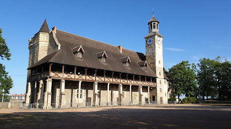
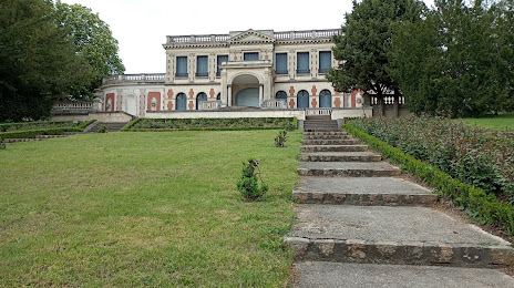
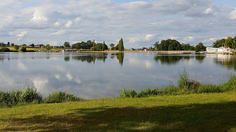
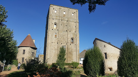
Attractions


Distance to the capital
Distance to the capital (Paris) is about — 280 km.