Itamogi — Caconde
Itamogi — Matinhos
Itamogi — Mato Verde
Itamogi — Santa Rita
Itamogi — Maruim
Itamogi — Jaguaré
Itamogi — Frecheirinha
Itamogi — Ariranha
Itamogi — Santa Clara do Sul
Itamogi — Lagoa Formosa
Itamogi — Anita Garibaldi
Itamogi — Ângulo
Itamogi — Xangri-lá
Itamogi — Seabra
Itamogi — Cruzeiro do Oeste
Itamogi — Cosmópolis
Itamogi — Coari
Itamogi — Pintadas
Itamogi — Colinas
Arceburgo
Mococa
Casa Branca
Aguaí
Mogi-Guaçu
Mogi Guaçu
Mogi Mirim
Mogi Mirim
Jaguariúna
Campinas
Hortolândia
Viracopos International Airport
Vinhedo
Louveira
Jundiaí
Várzea Paulista
Cajamar
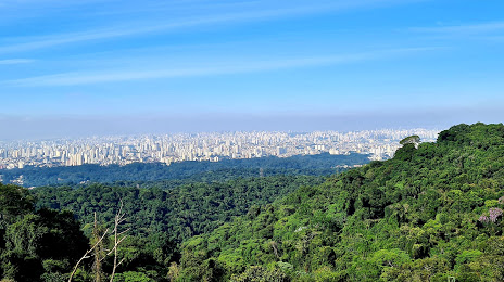
Itamogi — Caieiras distance, route on the map
Distance by car
Distance between Itamogi, Minas Gerais, Brazil and Caieiras, São Paulo, Brazil by car is — km, or miles. To travel this distance by car, you need minute, or h.
Route on the map, driving directions
Car route Itamogi — Caieiras was created automatically. The road on the map is shown as a blue line. By moving the markers, you can create a new route through the points you need.
Passing cities through which the car route passes: Monte Santo de Minas, Arceburgo, Mococa, Casa Branca, Aguaí, Mogi-Guaçu, Mogi Guaçu, Mogi Mirim, Mogi Mirim, Jaguariúna, Campinas, Hortolândia, Viracopos International Airport, Vinhedo, Louveira, Jundiaí, Várzea Paulista, Cajamar.
Distance by plane
If you decide to take a trip Itamogi Caieiras by plane, then you have to fly the distance — 256 km or 159 miles. It is marked on the map with a gray line (between two points in a straight line).
Flight time
Estimated flight time Itamogi Caieiras by plane at cruising speed 750 km / h will be — 20 min.
Direction of movement
Brazil, Itamogi — right-hand traffic. Brazil, Caieiras — right-hand traffic.
Difference in time
Itamogi and Caieiras are in the same time zone. Between them there is no time difference (UTC -3 America/Sao_Paulo).
Interesting Facts
Information on alternative ways to get to your destination.
The length of this distance is about 0.6% of the total length of the equator.
The percentage of the population is clearly shown in the graph:
Itamogi — 9,852 (less by 77,347), Caieiras — 87,199 residents.
The cost of travel
Calculate the cost of the trip yourself using the fuel consumption calculator, changing the data in the table.