
 Maureville
Samoëns
Gréning
Toulouse
Volx
Goudet
Méhoncourt
Saint-Hymer
Pontcarré
Maureville
Samoëns
Gréning
Toulouse
Volx
Goudet
Méhoncourt
Saint-Hymer
Pontcarré
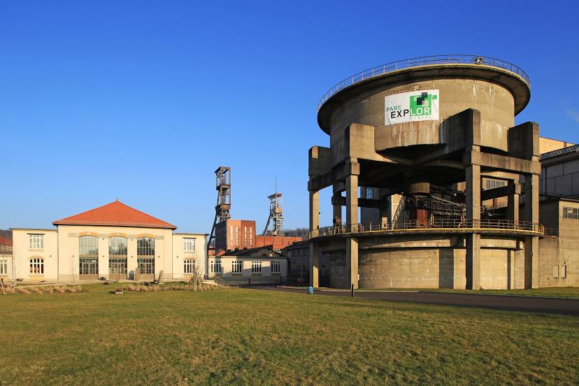
Carreau Wendel Museum on the map, Saint-Avold, France
Photo
Where is located Carreau Wendel Museum
Carreau Wendel Museum — local attraction, which is located at 57540 Petite-Rosselle, France and belongs to the category — museum. Average visitor rating for this place — 4.5 (according to 90 ratings, information from open sources and relevant for 2022).
Exact location — Carreau Wendel Museum, marked on the map with a red marker.
You can get directions to Carreau Wendel Museum on the map from your location.
What else is interesting in Saint-Avold? You can see all the sights if you go to the city page.
Coordinates
Carreau Wendel Museum, France coordinates in decimal format: latitude — 49.20374693473224, longitude — 6.863137225236066. When converted to degrees, minutes, seconds Carreau Wendel Museum has the following coordinates: 49°12′13.49 north latitude and 6°51′47.29 east longitude.
Nearby cities
The largest cities that are located nearby:
- Saarbrücken
 (Germany) — 26 km
 - Metz — 38 km
- Nancy — 59 km
- Trier (Germany) — 72 km
- Strasbourg — 96 km
- Karlsruhe (Germany) — 124 km
- Ludwigshafen (Germany) — 132 km
- Mannheim (Germany) — 133 km
- Heidelberg (Germany) — 145 km
- Pforzheim (Germany) — 146 km
- Mainz (Germany) — 147 km
- Freiburg (Germany) — 148 km
- Koblenz (Germany) — 152 km
- Wiesbaden (Germany) — 153 km
- Mulhouse — 157 km
- Darmstadt (Germany) — 163 km
- Frankfurt (Germany) — 179 km
- Heilbronn (Germany) — 181 km
- Basel
 (Switzerland) — 182 km
Distance to the capital
Distance to the capital (Paris) is about — 331 km.