
 Hasparren
Locronan
Danjoutin
La Clayette
Bois-Guillaume
Beaucroissant
Navarrenx
Naussac
Lédenon
Avoriaz
Essé
Poisson
Le Castellet
Chabeuil
La Godivelle
Dunes
Royat
Pionsat
Merlines
Hasparren
Locronan
Danjoutin
La Clayette
Bois-Guillaume
Beaucroissant
Navarrenx
Naussac
Lédenon
Avoriaz
Essé
Poisson
Le Castellet
Chabeuil
La Godivelle
Dunes
Royat
Pionsat
Merlines
Saint-Avold on the map, France
Where is located Saint-Avold
Exact location — Saint-Avold, Moselle, Lorraine, France, marked on the map with a red marker.
Coordinates
Saint-Avold, France coordinates in decimal format: latitude — 49.104408, longitude — 6.705793. When converted to degrees, minutes, seconds Saint-Avold has the following coordinates: 49°6′15.87 north latitude and 6°42′20.85 east longitude.
Population
Saint-Avold, Moselle, Lorraine, France, according to our data the population is — 17,340 residents, which is about 0% of the total population of the country (France).
Comparison of the population on the graph:
Exact time
Time zone for this location Saint-Avold — UTC +2 Europe/Paris. Exact time — tuesday, 5 may 2024 year, 00 h. 54 minutes.
Sunrise and sunset
Saint-Avold, sunrise and sunset data for a date — tuesday 14.05.2024.
| Sunrise | Sunset | Day (duration) |
|---|---|---|
| 05:55 -1 minute | 21:04 +2 minutes | 15 h. 12 minutes. +3 minutes |
You can control the scale of the map using the auxiliary tools to find out exactly where it is located Saint-Avold. When you change the scale of the map, the width of the ruler also changes (in kilometers and miles).
Nearby cities
The largest cities that are located nearby:
- Saarbrücken
 (Germany) — 26 km
 - Metz — 38 km
- Nancy — 59 km
- Trier (Germany) — 72 km
- Strasbourg — 96 km
- Karlsruhe (Germany) — 124 km
- Ludwigshafen (Germany) — 132 km
- Mannheim (Germany) — 133 km
- Heidelberg (Germany) — 145 km
- Pforzheim (Germany) — 146 km
- Mainz (Germany) — 147 km
- Freiburg (Germany) — 148 km
- Koblenz (Germany) — 152 km
- Wiesbaden (Germany) — 153 km
- Mulhouse — 157 km
- Darmstadt (Germany) — 163 km
- Frankfurt (Germany) — 179 km
- Heilbronn (Germany) — 181 km
- Basel
 (Switzerland) — 182 km
Distance to neighboring capitals:
- Bern (Switzerland) — 246 km
- Brussels
 (Belgium) — 257 km
 - Vaduz
 (Liechtenstein) — 302 km
 - Amsterdam
 (Netherlands) — 385 km
 - London
 (United Kingdom) — 554 km
 - Prague
 (Czech Republic) — 568 km
 - Berlin (Germany) — 605 km
- Vienna
 (Austria) — 717 km
 - Copenhagen
 (Denmark) — 832 km
 - Andorra la Vella
 (Andorra) — 836 km
 - Rome
 (Italy) — 919 km
 - Warsaw
 (Poland) — 1065 km
 - Madrid
 (Spain) — 1266 km
 - Lisbon
 (Portugal) — 1710 km
 - Nicosia
 — 2668 km
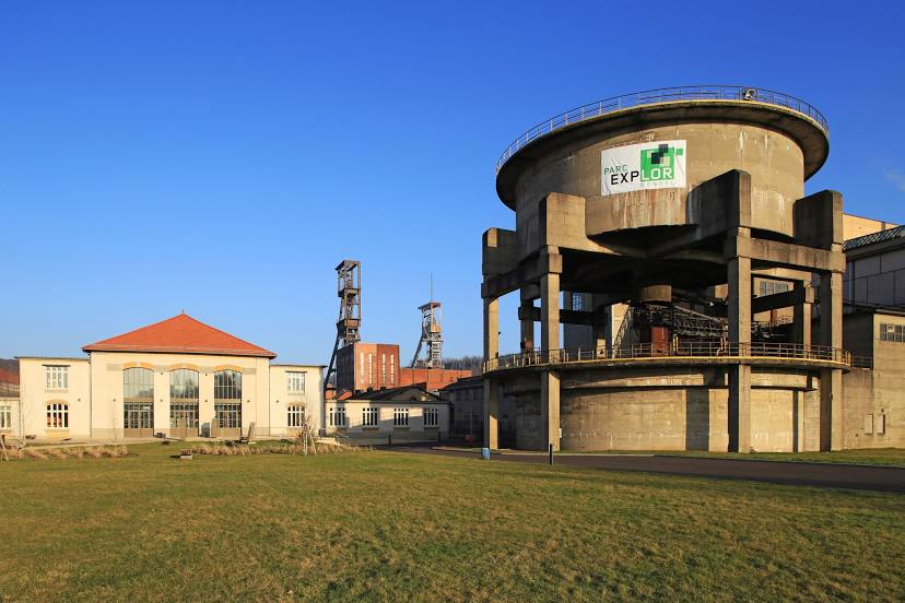
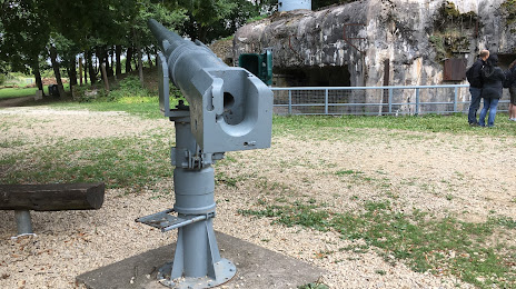
Attractions


Distance to the capital
Distance to the capital (Paris) is about — 319 km.