
 Maureville
Samoëns
Gréning
Toulouse
Volx
Goudet
Méhoncourt
Saint-Hymer
Pontcarré
Maureville
Samoëns
Gréning
Toulouse
Volx
Goudet
Méhoncourt
Saint-Hymer
Pontcarré
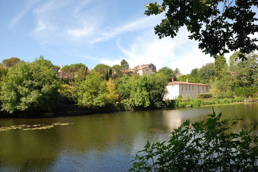
Sèvre Nantaise on the map, Saint-Sébastien-sur-Loire, France
Photo
Where is located Sèvre Nantaise
Sèvre Nantaise — local attraction, which is located at Loire and belongs to the category — -. Average visitor rating for this place — 4.5 (according to 21 rating, information from open sources and relevant for 2022).
Exact location — Sèvre Nantaise, marked on the map with a red marker.
You can get directions to Sèvre Nantaise on the map from your location.
What else is interesting in Saint-Sébastien-sur-Loire? You can see all the sights if you go to the city page.
Coordinates
Sèvre Nantaise, France coordinates in decimal format: latitude — 47.20569387156575, longitude — -1.5032934846201969. When converted to degrees, minutes, seconds Sèvre Nantaise has the following coordinates: 47°12′20.5 north latitude and -1°30′11.86 east longitude.
Nearby cities
The largest cities that are located nearby:
- Nantes — 4 km
- Angers — 76 km
- Rennes — 102 km
- Le Mans — 154 km
- Tours — 165 km
- Caen — 233 km
- Brest — 255 km
- Limoges — 261 km
- Orléans — 264 km
- Bordeaux — 272 km
- Le Havre — 278 km
- Rouen — 310 km
- Boulogne-Billancourt — 327 km
- Clermont-Ferrand — 388 km
- Bournemouth
 (United Kingdom) — 389 km
 - Portsmouth (United Kingdom) — 401 km
- Amiens — 402 km
- Southampton (United Kingdom) — 410 km
- Eastbourne (United Kingdom) — 413 km
Distance to the capital
Distance to the capital (Paris) is about — 340 km.