
 Argenton-sur-Creuse
Porto-Vecchio
Mont-de-Lans
La Palud-sur-Verdon
Saint-Paul-lès-Dax
Tonnay-Charente
Salignac-sur-Charente
Durfort
Colombiers
Saint-Marcellin
Pauillac
Le Pré-Saint-Gervais
Vigneux-sur-Seine
Gex
St-Genis-Laval
Lourmarin
Malaucène
Viry-Châtillon
Neuilly-Plaisance
Argenton-sur-Creuse
Porto-Vecchio
Mont-de-Lans
La Palud-sur-Verdon
Saint-Paul-lès-Dax
Tonnay-Charente
Salignac-sur-Charente
Durfort
Colombiers
Saint-Marcellin
Pauillac
Le Pré-Saint-Gervais
Vigneux-sur-Seine
Gex
St-Genis-Laval
Lourmarin
Malaucène
Viry-Châtillon
Neuilly-Plaisance
Saint-Sébastien-sur-Loire on the map, France
Where is located Saint-Sébastien-sur-Loire
Exact location — Saint-Sébastien-sur-Loire, Loire-Atlantique, Pays de la Loire, France, marked on the map with a red marker.
Coordinates
Saint-Sébastien-sur-Loire, France coordinates in decimal format: latitude — 47.205376, longitude — -1.503103. When converted to degrees, minutes, seconds Saint-Sébastien-sur-Loire has the following coordinates: 47°12′19.35 north latitude and -1°30′11.17 east longitude.
Population
Saint-Sébastien-sur-Loire, Loire-Atlantique, Pays de la Loire, France, according to our data the population is — 27,631 residents, which is about 0% of the total population of the country (France).
Comparison of the population on the graph:
Exact time
Time zone for this location Saint-Sébastien-sur-Loire — UTC +2 Europe/Paris. Exact time — thursday, 5 may 2024 year, 03 h. 43 minutes.
Sunrise and sunset
Saint-Sébastien-sur-Loire, sunrise and sunset data for a date — thursday 2.05.2024.
| Sunrise | Sunset | Day (duration) |
|---|---|---|
| 06:50 -2 minutes | 21:14 +1 minute | 14 h. 24 minutes. +3 minutes |
You can control the scale of the map using the auxiliary tools to find out exactly where it is located Saint-Sébastien-sur-Loire. When you change the scale of the map, the width of the ruler also changes (in kilometers and miles).
Nearby cities
The largest cities that are located nearby:
- Nantes — 4 km
- Angers — 76 km
- Rennes — 102 km
- Le Mans — 154 km
- Tours — 165 km
- Caen — 233 km
- Brest — 255 km
- Limoges — 261 km
- Orléans — 264 km
- Bordeaux — 272 km
- Le Havre — 278 km
- Rouen — 310 km
- Boulogne-Billancourt — 327 km
- Clermont-Ferrand — 388 km
- Bournemouth
 (United Kingdom) — 389 km
 - Portsmouth (United Kingdom) — 401 km
- Amiens — 402 km
- Southampton (United Kingdom) — 410 km
- Eastbourne (United Kingdom) — 413 km
Distance to neighboring capitals:
- London (United Kingdom) — 489 km
- Andorra la Vella
 (Andorra) — 574 km
 - Brussels
 (Belgium) — 588 km
 - Bern
 (Switzerland) — 678 km
 - Amsterdam
 (Netherlands) — 735 km
 - Madrid
 (Spain) — 775 km
 - Vaduz
 (Liechtenstein) — 833 km
 - Lisbon
 (Portugal) — 1129 km
 - Prague
 (Czech Republic) — 1212 km
 - Berlin
 (Germany) — 1218 km
 - Rome
 (Italy) — 1254 km
 - Vienna
 (Austria) — 1340 km
 - Copenhagen
 (Denmark) — 1352 km
 - Warsaw
 (Poland) — 1705 km
 - Nicosia
 — 3177 km
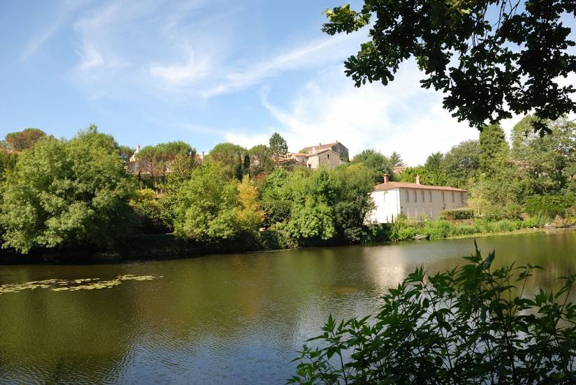
Attractions
Distance to the capital
Distance to the capital (Paris) is about — 340 km.