 Warner Robins
Wantagh
Bethel
Misty Hill Farm
United States
Wakonda Beach (R33) Airport
Wilmington
Poland
Miami International Airport
Warner Robins
Wantagh
Bethel
Misty Hill Farm
United States
Wakonda Beach (R33) Airport
Wilmington
Poland
Miami International Airport
Blind Pass Beach on the map, North Port, United States
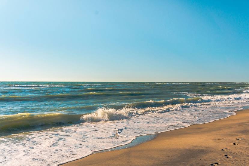
Photo
Where is located Blind Pass Beach
Blind Pass Beach — local attraction, which is located at 7770 Manasota Key Rd, Englewood, FL 34223, United States and belongs to the category — beach. Average visitor rating for this place — 4.7 (according to 2472 ratings, information from open sources and relevant for 2022).
Exact location — Blind Pass Beach, marked on the map with a red marker.
You can get directions to Blind Pass Beach on the map from your location.
What else is interesting in North Port? You can see all the sights if you go to the city page.
Coordinates
Blind Pass Beach, United States coordinates in decimal format: latitude — 26.73494100234492, longitude — -82.29709051641443. When converted to degrees, minutes, seconds Blind Pass Beach has the following coordinates: 26°44′5.79 north latitude and -82°17′49.53 east longitude.
Nearby cities
The largest cities that are located nearby:
- Cape Coral — 60 km
- Saint Petersburg — 90 km
- Brandon — 99 km
- Tampa — 103 km
- Clearwater — 116 km
- Orlando — 185 km
- Port Saint Lucie — 186 km
- Coral Springs — 213 km
- Pembroke Pines — 224 km
- Miramar — 225 km
- Fort Lauderdale — 232 km
- Hialeah — 235 km
- Hollywood — 237 km
- Miami — 248 km
- Gainesville — 288 km
- Jacksonville — 368 km
- Tallahassee — 423 km
- Havana
 (Cuba) — 430 km
 - Matanzas (Cuba) — 450 km
Distance to the capital
Distance to the capital (Washington) is about — 1440 km.