Porto Grande — Jambeiro
Porto Grande — Campo Grande International Airport
Porto Grande — Paulo Jacinto
Porto Grande — Parelhas
Porto Grande — Senador Canedo
Porto Grande — Sinop
Porto Grande — Mauá
Porto Grande — Sete de Setembro
Porto Grande — Campestre
Porto Grande — Ventania
Porto Grande — Santa Isabel do Pará
Porto Grande — Tucuruvi
Porto Grande — Carmo de Minas
Porto Grande — Penápolis
Porto Grande — Serra
Porto Grande — Marialva
Porto Grande — São Carlos
Porto Grande — Jaguaribara
Porto Grande — Aricanduva
Km 30
Sinop
Smile
Nobres
Rosário Oeste
Cuiaba
Jaciara
Rondonópolis
Coxim
Coxim
Rio Verde de Mato Grosso
Campo Grande
Nova Alvorada do Sul
Teodoro Sampaio
Centenário do Sul
Jaguapitã
Rolândia
Arapongas
Apucarana
Marilândia do Sul
Ponta Grossa
Campo Largo
Campo Magro
Fazenda Rio Grande
Mandirituba
Agudos do Sul
São Bento do Sul
Jaraguá do Sul
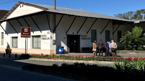
Porto Grande — Pomerode distance, route on the map
Distance by car
Distance between Porto Grande, Amapá, Brazil and Pomerode, Santa Catarina, Brazil by car is — km, or miles. To travel this distance by car, you need minute, or h.
Route on the map, driving directions
Car route Porto Grande — Pomerode was created automatically. The road on the map is shown as a blue line. By moving the markers, you can create a new route through the points you need.
Passing cities through which the car route passes: Santarém, Km 30, Sinop, Smile, Nobres, Rosário Oeste, Cuiaba, Jaciara, Rondonópolis, Coxim, Coxim, Rio Verde de Mato Grosso, Campo Grande, Nova Alvorada do Sul, Teodoro Sampaio, Centenário do Sul, Jaguapitã, Rolândia, Arapongas, Apucarana, Marilândia do Sul, Ponta Grossa, Campo Largo, Campo Magro, Fazenda Rio Grande, Mandirituba, Agudos do Sul, São Bento do Sul, Jaraguá do Sul.
Distance by plane
If you decide to take a trip Porto Grande Pomerode by plane, then you have to fly the distance — 3063 km or 1899 miles. It is marked on the map with a gray line (between two points in a straight line).
Flight time
Estimated flight time Porto Grande Pomerode by plane at cruising speed 750 km / h will be — 4 h. and 5 min.
Direction of movement
Brazil, Porto Grande — right-hand traffic. Brazil, Pomerode — right-hand traffic.
Difference in time
Porto Grande and Pomerode are in the same time zone. Between them there is no time difference (UTC -3 America/Fortaleza).
Interesting Facts
Information on alternative ways to get to your destination.
The length of this distance is about 7.6% of the total length of the equator.
The percentage of the population is clearly shown in the graph:
Porto Grande — 7,191 (less by 14,707), Pomerode — 21,898 residents.
The cost of travel
Calculate the cost of the trip yourself using the fuel consumption calculator, changing the data in the table.