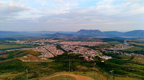
Maxaranguape — Sarandi
Maxaranguape — Canavieiras
Maxaranguape — Arceburgo
Maxaranguape — Fortaleza
Maxaranguape — Bataguassu
Maxaranguape — Manacapuru
Maxaranguape — Sorocaba
Maxaranguape — Itarema
Maxaranguape — Pequeri
Maxaranguape — Campo Magro
Maxaranguape — Extrema
Maxaranguape — Monteiro Lobato
Maxaranguape — São Gonçalo
Maxaranguape — Ilhéus
Maxaranguape — Jaguaribara
Maxaranguape — Progresso
Maxaranguape — Nilópolis
Maxaranguape — Morro Reuter
Maxaranguape — Serra Talhada
Maxaranguape — Carmo do Rio Claro distance, route on the map
Distance by car
Distance between Maxaranguape, Rio Grande do Norte, Brazil and Carmo do Rio Claro, Minas Gerais, Brazil by car is — km, or miles. To travel this distance by car, you need minute, or h.
Route on the map, driving directions
Car route Maxaranguape — Carmo do Rio Claro was created automatically. The road on the map is shown as a blue line. By moving the markers, you can create a new route through the points you need.
Distance by plane
If you decide to take a trip Maxaranguape Carmo do Rio Claro by plane, then you have to fly the distance — 2080 km or 1290 miles. It is marked on the map with a gray line (between two points in a straight line).
Flight time
Estimated flight time Maxaranguape Carmo do Rio Claro by plane at cruising speed 750 km / h will be — 2 h. and 46 min.
Direction of movement
Brazil, Maxaranguape — right-hand traffic. Brazil, Carmo do Rio Claro — right-hand traffic.
Difference in time
Maxaranguape and Carmo do Rio Claro are in the same time zone. Between them there is no time difference (UTC -3 America/Fortaleza).
Interesting Facts
Information on alternative ways to get to your destination.
The length of this distance is about 5.2% of the total length of the equator.
The percentage of the population is clearly shown in the graph:
Maxaranguape — 6,593 (less by 7,853), Carmo do Rio Claro — 14,446 residents.
The cost of travel
Calculate the cost of the trip yourself using the fuel consumption calculator, changing the data in the table.