 Warner Robins
Wantagh
Bethel
Misty Hill Farm
United States
Wakonda Beach (R33) Airport
Wilmington
Poland
Miami International Airport
Warner Robins
Wantagh
Bethel
Misty Hill Farm
United States
Wakonda Beach (R33) Airport
Wilmington
Poland
Miami International Airport
White Mountain National Forest on the map, Berlin, United States
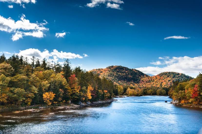
Photo
Where is located White Mountain National Forest
White Mountain National Forest — local attraction, which is located at 71 White Mountain Dr, Campton, NH 03223, United States and belongs to the category — state park. Average visitor rating for this place — 4.9 (according to 7581 rating, information from open sources and relevant for 2022).
Exact location — White Mountain National Forest, marked on the map with a red marker.
You can get directions to White Mountain National Forest on the map from your location.
What else is interesting in Berlin? You can see all the sights if you go to the city page.
Coordinates
White Mountain National Forest, United States coordinates in decimal format: latitude — 44.14858078749128, longitude — -71.45307097503128. When converted to degrees, minutes, seconds White Mountain National Forest has the following coordinates: 44°8′54.89 north latitude and -71°27′11.06 east longitude.
Nearby cities
The largest cities that are located nearby:
- Sherbrooke
 (Canada) — 116 km
 - Manchester — 164 km
- Lowell — 203 km
- Longueuil (Canada) — 215 km
- Montreal (Canada) — 217 km
- Cambridge — 232 km
- Trois-Rivières (Canada) — 232 km
- Laval (Canada) — 232 km
- Boston — 233 km
- Worcester — 249 km
- Levis (Canada) — 251 km
- Quebec (Canada) — 258 km
- Amherst — 259 km
- Springfield — 286 km
- Providence — 293 km
- Hartford — 324 km
- Waterbury — 357 km
- Ottawa (Canada) — 366 km
- Gatineau (Canada) — 367 km
Distance to the capital
Distance to the capital (Washington) is about — 745 km.