

Parque Etnobotánico Omaere on the map, Puyo, Ecuador
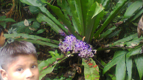
Photo
Where is located Parque Etnobotánico Omaere
Parque Etnobotánico Omaere — local attraction, which is located at Paseo Turístico del Río Puyo 250 m al NE del Puente Azul, justo antes del Puente Colgante, Puyo 160150, Ecuador and belongs to the category — botanical garden. Average visitor rating for this place — 4.4 (according to 568 ratings, information from open sources and relevant for 2022).
Exact location — Parque Etnobotánico Omaere, marked on the map with a red marker.
You can get directions to Parque Etnobotánico Omaere on the map from your location.
What else is interesting in Puyo? You can see all the sights if you go to the city page.
Coordinates
Parque Etnobotánico Omaere, Ecuador coordinates in decimal format: latitude — -1.473921662712936, longitude — -77.99556117569635. When converted to degrees, minutes, seconds Parque Etnobotánico Omaere has the following coordinates: -1°28′26.12 north latitude and -77°59′44.02 east longitude.
Nearby cities
The largest cities that are located nearby:
- Ambato — 74 km
- Riobamba — 75 km
- Quevedo — 169 km
- Santo Domingo — 188 km
- Milagro — 189 km
- Cuenca — 191 km
- Ibarra — 206 km
- Guayaquil — 225 km
- Portoviejo — 275 km
- Santiago — 291 km
- Manta — 305 km
- Loja — 305 km
- Pasto
 (Colombia) — 310 km
 - Tumbes
 (Peru) — 352 km
 - Florencia (Colombia) — 433 km
- Popayán (Colombia) — 462 km
- Sullana (Peru) — 479 km
- Talara (Peru) — 496 km
- Piura (Peru) — 502 km
Distance to the capital
Distance to the capital (Quito) is about — 153 km.