
 Gualaceo
Ventanas
Coca
El Chaco
Gualaquiza
Pedro Vicente Maldonado
Pedernales
Tabacundo
Santa Rosa
Guano
Guachalá
Montalvo
Pujili
Palenque
San Gabriel
Bahia de Caraquez
Santa Elena
La Libertad
Naranjal
Gualaceo
Ventanas
Coca
El Chaco
Gualaquiza
Pedro Vicente Maldonado
Pedernales
Tabacundo
Santa Rosa
Guano
Guachalá
Montalvo
Pujili
Palenque
San Gabriel
Bahia de Caraquez
Santa Elena
La Libertad
Naranjal
Puyo on the map, Ecuador
Where is located Puyo
Exact location — Puyo, Pastaza, Ecuador, marked on the map with a red marker.
Coordinates
Puyo, Ecuador coordinates in decimal format: latitude — -1.4923925, longitude — -78.0024134. When converted to degrees, minutes, seconds Puyo has the following coordinates: -1°29′32.61 north latitude and -78°0′8.69 east longitude.
Population
Puyo, Pastaza, Ecuador, according to our data the population is — 24,881 residents, which is about 0.1% of the total population of the country (Ecuador).
Comparison of the population on the graph:
Exact time
Time zone for this location Puyo — UTC -5 America/Guayaquil. Exact time — sunday, 4 april 2024 year, 04 h. 49 minutes.
Sunrise and sunset
Puyo, sunrise and sunset data for a date — sunday 28.04.2024.
| Sunrise | Sunset | Day (duration) |
|---|---|---|
| 06:09 -0 minutes | 18:08 -1 minute | 12 h. 0 minutes. -1 minute |
You can control the scale of the map using the auxiliary tools to find out exactly where it is located Puyo. When you change the scale of the map, the width of the ruler also changes (in kilometers and miles).
Nearby cities
The largest cities that are located nearby:
- Ambato — 74 km
- Riobamba — 75 km
- Quevedo — 169 km
- Santo Domingo — 188 km
- Milagro — 189 km
- Cuenca — 191 km
- Ibarra — 206 km
- Guayaquil — 225 km
- Portoviejo — 275 km
- Santiago — 291 km
- Manta — 305 km
- Loja — 305 km
- Pasto
 (Colombia) — 310 km
 - Tumbes
 (Peru) — 352 km
 - Florencia (Colombia) — 433 km
- Popayán (Colombia) — 462 km
- Sullana (Peru) — 479 km
- Talara (Peru) — 496 km
- Piura (Peru) — 502 km
Distance to neighboring capitals:
- Bogota (Colombia) — 806 km
- Caracas
 (Venezuela) — 1812 km
 - Nuestra Señora de La Paz
 (Bolivia) — 1988 km
 - Santiago
 (Chile) — 3635 km
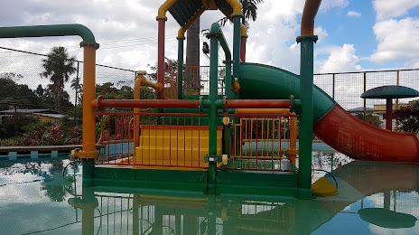
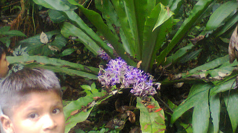
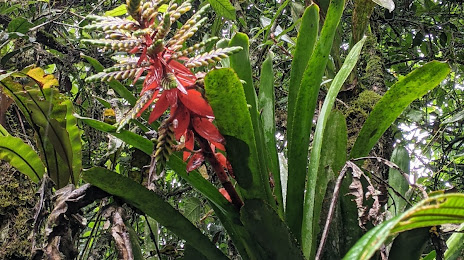
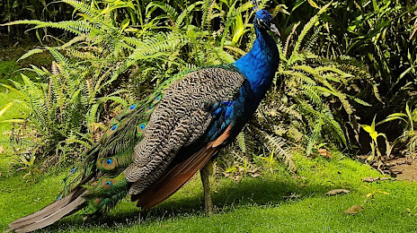
Attractions
Distance to the capital
Distance to the capital (Quito) is about — 155 km.