
 Tulcan
San José
Baeza
Arenillas
San Vicente
Canar
Mindo
San Rafael
Balzar
Huaquillas
Puyo
Paute
Lomas de Sargentillo
El Carmen
Cayambe
Sucre
Rocafuerte
Colimes
Chone
Tulcan
San José
Baeza
Arenillas
San Vicente
Canar
Mindo
San Rafael
Balzar
Huaquillas
Puyo
Paute
Lomas de Sargentillo
El Carmen
Cayambe
Sucre
Rocafuerte
Colimes
Chone
Gualaceo on the map, Ecuador
Where is located Gualaceo
Exact location — Gualaceo, Azuay, Ecuador, marked on the map with a red marker.
Coordinates
Gualaceo, Ecuador coordinates in decimal format: latitude — -2.9, longitude — -78.783333. When converted to degrees, minutes, seconds Gualaceo has the following coordinates: -2°54′0 north latitude and -78°46′60 east longitude.
Population
Gualaceo, Azuay, Ecuador, according to our data the population is — 17,122 residents, which is about 0.1% of the total population of the country (Ecuador).
Comparison of the population on the graph:
Exact time
Time zone for this location Gualaceo — UTC -5 America/Guayaquil. Exact time — monday, 5 may 2024 year, 00 h. 29 minutes.
Sunrise and sunset
Gualaceo, sunrise and sunset data for a date — monday 6.05.2024.
| Sunrise | Sunset | Day (duration) |
|---|---|---|
| 06:14 -0 minutes | 18:09 -0 minutes | 11 h. 54 minutes. -0 minutes |
You can control the scale of the map using the auxiliary tools to find out exactly where it is located Gualaceo. When you change the scale of the map, the width of the ruler also changes (in kilometers and miles).
Nearby cities
The largest cities that are located nearby:
- Cuenca — 25 km
- Santiago — 113 km
- Milagro — 123 km
- Loja — 128 km
- Riobamba — 137 km
- Guayaquil — 149 km
- Ambato — 184 km
- Tumbes
 (Peru) — 195 km
 - Quevedo — 221 km
- Portoviejo — 275 km
- Santo Domingo — 296 km
- Manta — 302 km
- Sullana (Peru) — 305 km
- Piura (Peru) — 326 km
- Talara (Peru) — 331 km
- Ibarra — 368 km
- Chiclayo (Peru) — 444 km
- Cajamarca (Peru) — 472 km
- Pasto
 (Colombia) — 485 km
Distance to neighboring capitals:
- Bogota (Colombia) — 984 km
- Nuestra Señora de La Paz
 (Bolivia) — 1908 km
 - Caracas
 (Venezuela) — 1987 km
 - Santiago
 (Chile) — 3500 km
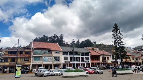
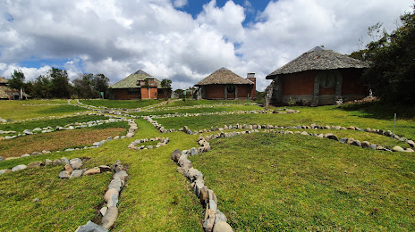
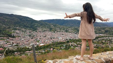
Attractions
Distance to the capital
Distance to the capital (Quito) is about — 304 km.