Abakan — Menzelinsk
Abakan — Bogdanovo
Abakan — Moscow Oblast
Abakan — Kremenki
Abakan — Bolshoy Kamen
Abakan — Fominki
Abakan — Maraty
Abakan — Smolenka
Abakan — Krasnaya Zarya
Abakan — Staroleushkovskaya
Abakan — Nikolaevka
Abakan — Nizhnyaya Poyma
Abakan — Zavetnoye
Abakan — Tula
Abakan — Krasnogorsk
Abakan — Akbasheva
Abakan — Vybor
Abakan — Lesogorskaya
Abakan — Krasnyy Yar
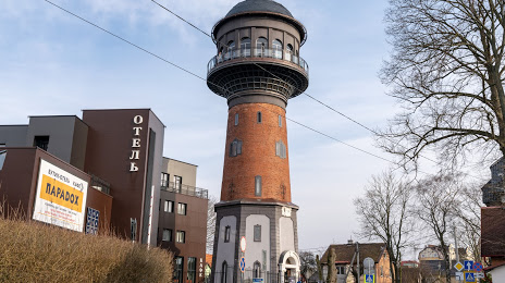
Abakan — Zelenogradsk distance, route on the map
Distance by car
Distance between Abakan, Republic of Khakassia, Russian Federation and Zelenogradsk, Kaliningrad Oblast, Russian Federation by car is — km, or miles. To travel this distance by car, you need minute, or h.
Route on the map, driving directions
Car route Abakan — Zelenogradsk was created automatically. The road on the map is shown as a blue line. By moving the markers, you can create a new route through the points you need.
Distance by plane
If you decide to take a trip Abakan Zelenogradsk by plane, then you have to fly the distance — 4401 km or 2729 miles. It is marked on the map with a gray line (between two points in a straight line).
Flight time
Estimated flight time Abakan Zelenogradsk by plane at cruising speed 750 km / h will be — 5 h. and 52 min.
Direction of movement
Russian Federation, Abakan — right-hand traffic. Russian Federation, Zelenogradsk — right-hand traffic.
Difference in time
Abakan and Zelenogradsk are in different time zones. The time difference is 5 hours (UTC +7 Asia/Krasnoyarsk, UTC +2 Europe/Kaliningrad).
Interesting Facts
Information on alternative ways to get to your destination.
The length of this distance is about 11.0% of the total length of the equator.
The percentage of the population is clearly shown in the graph:
Abakan — 167,291, Zelenogradsk — 12,846 residents (less by 154,445).
The cost of travel
Calculate the cost of the trip yourself using the fuel consumption calculator, changing the data in the table.