Cachoeira Alta — Ibicoara
Cachoeira Alta — Nova Esperança
Cachoeira Alta — Marechal Cândido Rondon
Cachoeira Alta — Sapezal
Cachoeira Alta — Nova Olinda
Cachoeira Alta — Nova Era
Cachoeira Alta — Monte Alegre
Cachoeira Alta — Sarandi
Cachoeira Alta — Santana do Paraíso
Cachoeira Alta — São Leopoldo
Cachoeira Alta — Paragominas
Cachoeira Alta — Porteirinha
Cachoeira Alta — Brumado
Cachoeira Alta — Gaurama
Cachoeira Alta — Pernambuco
Cachoeira Alta — Feliciano
Cachoeira Alta — Nova Xavantina
Cachoeira Alta — Altônia
Cachoeira Alta — Rifaina
Ilha Solteira
Castilho
Andradina
Nova Independência
Tupi Paulista
Ouro Verde
Presidente Venceslau
Teodoro Sampaio
Santa Fé
Ângulo
Paiçandu
Floresta
Peabiru
Campo Mourão
Juranda
Ubiratã
Corbélia
Corbélia
Cascavel
Céu Azul
Matelândia
Medianeira
São Miguel do Iguaçu
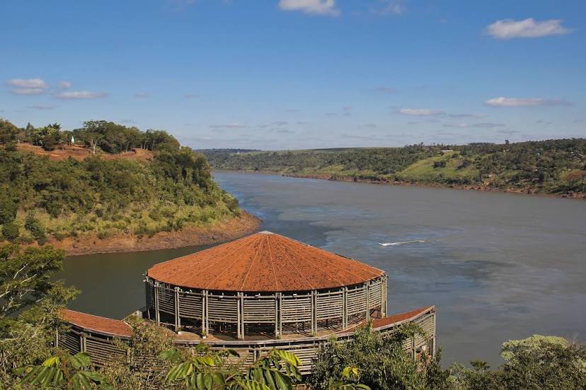
Cachoeira Alta — Foz do Iguaçu distance, route on the map
Distance by car
Distance between Cachoeira Alta, Goiás, Brazil and Foz do Iguaçu, Paraná, Brazil by car is — km, or miles. To travel this distance by car, you need minute, or h.
Route on the map, driving directions
Car route Cachoeira Alta — Foz do Iguaçu was created automatically. The road on the map is shown as a blue line. By moving the markers, you can create a new route through the points you need.
Passing cities through which the car route passes: Paranaíba, Ilha Solteira, Castilho, Andradina, Nova Independência, Tupi Paulista, Ouro Verde, Presidente Venceslau, Teodoro Sampaio, Santa Fé, Ângulo, Paiçandu, Floresta, Peabiru, Campo Mourão, Juranda, Ubiratã, Corbélia, Corbélia, Cascavel, Céu Azul, Matelândia, Medianeira, São Miguel do Iguaçu.
Distance by plane
If you decide to take a trip Cachoeira Alta Foz do Iguaçu by plane, then you have to fly the distance — 840 km or 521 miles. It is marked on the map with a gray line (between two points in a straight line).
Flight time
Estimated flight time Cachoeira Alta Foz do Iguaçu by plane at cruising speed 750 km / h will be — 1 h. and 7 min.
Direction of movement
Brazil, Cachoeira Alta — right-hand traffic. Brazil, Foz do Iguaçu — right-hand traffic.
Difference in time
Cachoeira Alta and Foz do Iguaçu are in different time zones. The time difference is 1 hour (UTC -3 America/Sao_Paulo, UTC -4 America/Asuncion).
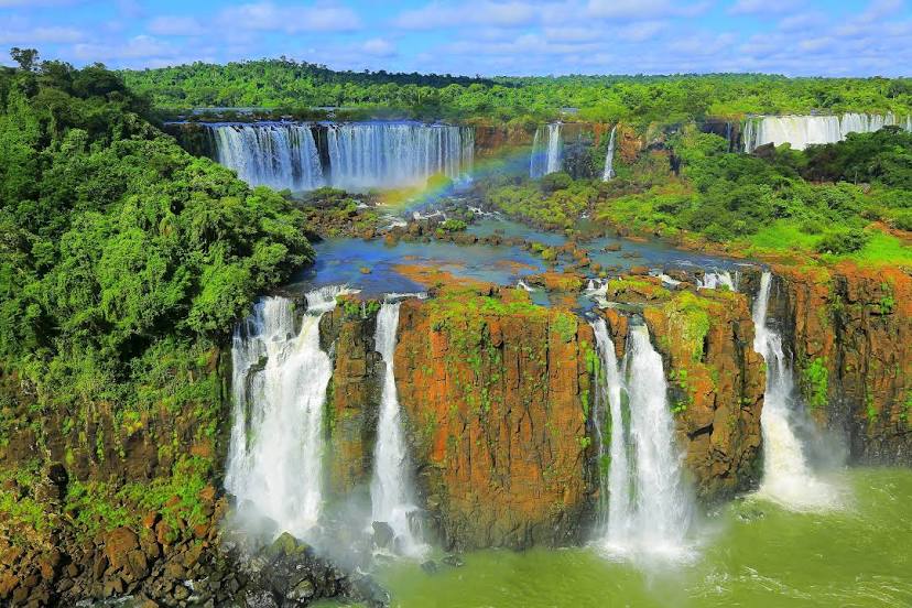
Interesting Facts
Information on alternative ways to get to your destination.
The length of this distance is about 2.1% of the total length of the equator.
The percentage of the population is clearly shown in the graph:
Cachoeira Alta — 8,272 (less by 285,251), Foz do Iguaçu — 293,523 residents.
The cost of travel
Calculate the cost of the trip yourself using the fuel consumption calculator, changing the data in the table.