Pouso Novo — Marechal Floriano
Pouso Novo — Caxias
Pouso Novo — Remanso
Pouso Novo — Araçoiaba
Pouso Novo — Tamarana
Pouso Novo — Pinheiral
Pouso Novo — Guaraniaçu
Pouso Novo — Montenegro
Pouso Novo — Floreal
Pouso Novo — Santo Amaro das Brotas
Pouso Novo — North Pole
Pouso Novo — Itabira
Pouso Novo — Porto Mauá
Pouso Novo — Caxias do Sul
Pouso Novo — Porto
Pouso Novo — Anitápolis
Pouso Novo — Carbonita
Pouso Novo — Tubarão
Pouso Novo — Porto Alegre
Soledade
Ernestina
Carazinho
Sarandi
Seberi
Palmitos
Cunha Porã
Maravilha
Salgado Filho
Ampére
Realeza
Toledo
Toledo
Quatro Pontes
Marechal Cândido Rondon
Marechal Cândido Rondon
Guaíra
Salto del Guairá
Pouso Novo — Marechal Floriano
Pouso Novo — Caxias
Pouso Novo — Remanso
Pouso Novo — Araçoiaba
Pouso Novo — Tamarana
Pouso Novo — Pinheiral
Pouso Novo — Guaraniaçu
Pouso Novo — Montenegro
Pouso Novo — Floreal
Pouso Novo — Santo Amaro das Brotas
Pouso Novo — North Pole
Pouso Novo — Itabira
Pouso Novo — Porto Mauá
Pouso Novo — Caxias do Sul
Pouso Novo — Porto
Pouso Novo — Anitápolis
Pouso Novo — Carbonita
Pouso Novo — Tubarão
Pouso Novo — Porto Alegre
Soledade
Ernestina
Carazinho
Sarandi
Seberi
Palmitos
Cunha Porã
Maravilha
Salgado Filho
Ampére
Realeza
Toledo
Toledo
Quatro Pontes
Marechal Cândido Rondon
Marechal Cândido Rondon
Guaíra
Salto del Guairá  Salto del Guairá
Mundo Novo
Eldorado
Naviraí
Caarapó
Dourados
Dourados
Itaporã
Maracaju
Guia Lopes da Laguna
Salto del Guairá
Mundo Novo
Eldorado
Naviraí
Caarapó
Dourados
Dourados
Itaporã
Maracaju
Guia Lopes da Laguna
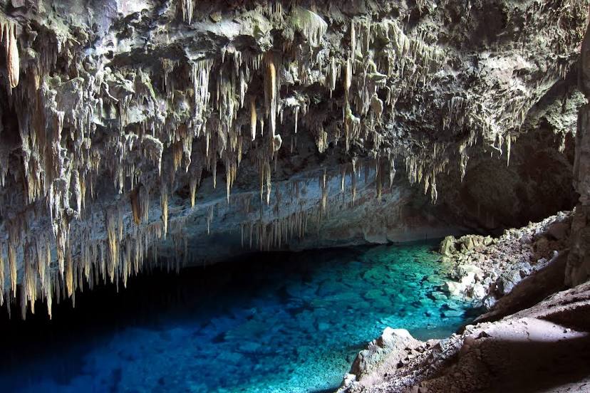
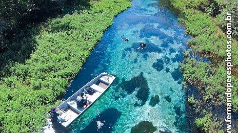
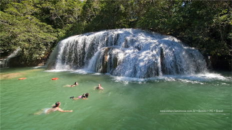
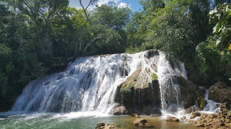
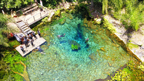
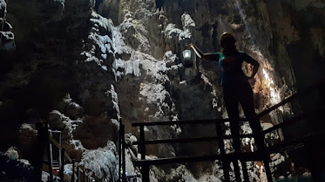
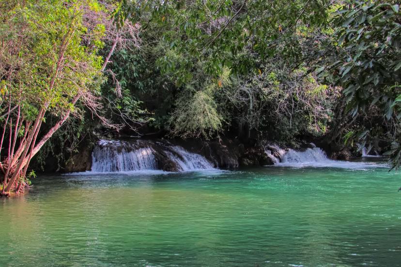
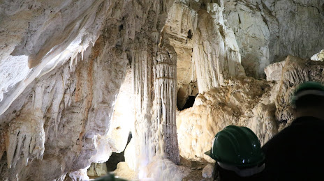
Pouso Novo — Bonito distance, route on the map
Distance by car
Distance between Pouso Novo, Rio Grande do Sul, Brazil and Bonito, Mato Grosso do Sul, Brazil by car is — km, or miles. To travel this distance by car, you need minute, or h.
Route on the map, driving directions
Car route Pouso Novo — Bonito was created automatically. The road on the map is shown as a blue line. By moving the markers, you can create a new route through the points you need.
Passing cities through which the car route passes: Fontoura Xavier, Soledade, Ernestina, Carazinho, Sarandi, Seberi, Palmitos, Cunha Porã, Maravilha, Salgado Filho, Ampére, Realeza, Toledo, Toledo, Quatro Pontes, Marechal Cândido Rondon, Marechal Cândido Rondon, Guaíra, Salto del Guairá (py), Salto del Guairá (py), Mundo Novo, Eldorado, Naviraí, Caarapó, Dourados, Dourados, Itaporã, Maracaju, Guia Lopes da Laguna.
Distance by plane
If you decide to take a trip Pouso Novo Bonito by plane, then you have to fly the distance — 993 km or 616 miles. It is marked on the map with a gray line (between two points in a straight line).
Flight time
Estimated flight time Pouso Novo Bonito by plane at cruising speed 750 km / h will be — 1 h. and 19 min.
Direction of movement
Brazil, Pouso Novo — right-hand traffic. Brazil, Bonito — right-hand traffic.
Difference in time
Pouso Novo and Bonito are in different time zones. The time difference is 1 hour (UTC -3 America/Sao_Paulo, UTC -4 America/Campo_Grande).
Interesting Facts
Information on alternative ways to get to your destination.
The length of this distance is about 2.5% of the total length of the equator.
The percentage of the population is clearly shown in the graph:
Pouso Novo — 2,207 (less by 12,297), Bonito — 14,504 residents.
The cost of travel
Calculate the cost of the trip yourself using the fuel consumption calculator, changing the data in the table.