
 Vítkovce
Harhaj
Blatná Polianka
Orlov
Bzenov
Chrastné
Dolná Poruba
Kvačany
Kožuchovce
Vítkovce
Harhaj
Blatná Polianka
Orlov
Bzenov
Chrastné
Dolná Poruba
Kvačany
Kožuchovce
Hornonitrianske múzeum v Prievidzi on the map, Prievidza, Slovakia
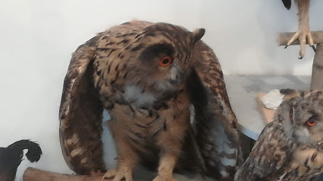
Photo
Where is located Hornonitrianske múzeum v Prievidzi
Hornonitrianske múzeum v Prievidzi — local attraction, which is located at Košovská cesta 55, 971 01 Prievidza, Slovakia and belongs to the category — museum. Average visitor rating for this place — 4.2 (according to 58 ratings, information from open sources and relevant for 2022).
Exact location — Hornonitrianske múzeum v Prievidzi, marked on the map with a red marker.
You can get directions to Hornonitrianske múzeum v Prievidzi on the map from your location.
What else is interesting in Prievidza? You can see all the sights if you go to the city page.
Coordinates
Hornonitrianske múzeum v Prievidzi, Slovakia coordinates in decimal format: latitude — 48.76992135885317, longitude — 18.620040725220733. When converted to degrees, minutes, seconds Hornonitrianske múzeum v Prievidzi has the following coordinates: 48°46′11.72 north latitude and 18°37′12.15 east longitude.
Nearby cities
The largest cities that are located nearby:
- Ostrava
 (Czech Republic) — 119 km
 - Bielsko-Biala
 (Poland) — 120 km
 - Olomouc (Czech Republic) — 134 km
- Győr
 (Hungary) — 140 km
 - Budapest (Hungary) — 144 km
- Rybnik (Poland) — 147 km
- Brno (Czech Republic) — 153 km
- Ruda Slaska (Poland) — 165 km
- Katowice (Poland) — 168 km
- Gliwice (Poland) — 169 km
- Chorzow (Poland) — 170 km
- Sosnowiec (Poland) — 171 km
- Kraków (Poland) — 171 km
- Zabrze (Poland) — 172 km
- Miskolc (Hungary) — 175 km
- Bytom (Poland) — 176 km
- Székesfehérvár (Hungary) — 176 km
- Dabrowa Gornicza (Poland) — 176 km
- Vienna
 (Austria) — 177 km
Distance to the capital
Distance to the capital (Bratislava) is about — 131 km.