
 Štúrovo
Trebišov
Bardejov
Žiar nad Hronom
Šamorín
Dolný Kubín
Topoľčany
Čadca
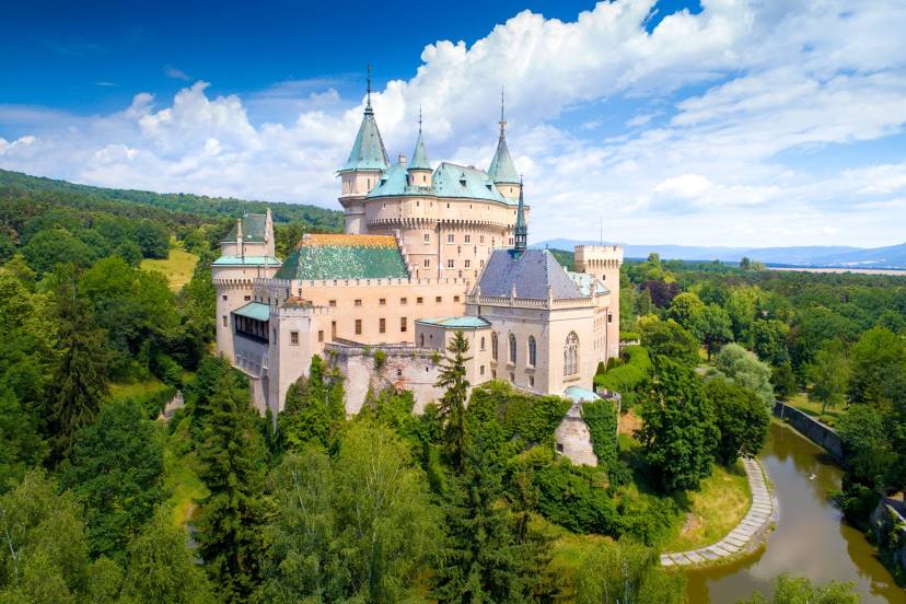
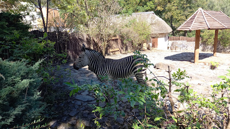
Bojnice
Skalica
Košice
Žilina
Banská Bystrica
Lozorno
Nové Mesto nad Váhom
Bratislava
Lesnica
Štúrovo
Trebišov
Bardejov
Žiar nad Hronom
Šamorín
Dolný Kubín
Topoľčany
Čadca
Bojnice
Skalica
Košice
Žilina
Banská Bystrica
Lozorno
Nové Mesto nad Váhom
Bratislava
Lesnica
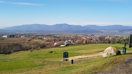
Prievidza on the map, Slovakia
Where is located Prievidza
Exact location — Prievidza, Prievidza District, Trenčín Region, Slovakia, marked on the map with a red marker.
Coordinates
Prievidza, Slovakia coordinates in decimal format: latitude — 48.7707098, longitude — 18.6209537. When converted to degrees, minutes, seconds Prievidza has the following coordinates: 48°46′14.56 north latitude and 18°37′15.43 east longitude.
Population
Prievidza, Prievidza District, Trenčín Region, Slovakia, according to our data the population is — 52,987 residents, which is about 1% of the total population of the country (Slovakia).
Comparison of the population on the graph:
Exact time
Time zone for this location Prievidza — UTC +2 Europe/Bratislava. Exact time — monday, 5 may 2024 year, 19 h. 04 minutes.
Sunrise and sunset
Prievidza, sunrise and sunset data for a date — monday 20.05.2024.
| Sunrise | Sunset | Day (duration) |
|---|---|---|
| 05:01 -1 minute | 20:22 +1 minute | 15 h. 24 minutes. +2 minutes |
You can control the scale of the map using the auxiliary tools to find out exactly where it is located Prievidza. When you change the scale of the map, the width of the ruler also changes (in kilometers and miles).
Nearby cities
The largest cities that are located nearby:
- Ostrava
 (Czech Republic) — 119 km
 - Bielsko-Biala
 (Poland) — 120 km
 - Olomouc (Czech Republic) — 134 km
- Győr
 (Hungary) — 140 km
 - Budapest (Hungary) — 144 km
- Rybnik (Poland) — 147 km
- Brno (Czech Republic) — 153 km
- Ruda Slaska (Poland) — 165 km
- Katowice (Poland) — 168 km
- Gliwice (Poland) — 169 km
- Chorzow (Poland) — 170 km
- Sosnowiec (Poland) — 171 km
- Kraków (Poland) — 171 km
- Zabrze (Poland) — 172 km
- Miskolc (Hungary) — 175 km
- Bytom (Poland) — 176 km
- Székesfehérvár (Hungary) — 176 km
- Dabrowa Gornicza (Poland) — 176 km
- Vienna
 (Austria) — 177 km
Distance to neighboring capitals:
- Budapest (Hungary) — 145 km
- Vienna (Austria) — 177 km
- Prague (Czech Republic) — 336 km
- Warsaw (Poland) — 420 km
- Ljubljana
 (Slovenia) — 432 km
 - Belgrade
 (Serbia) — 464 km
 - Berlin
 (Germany) — 556 km
 - Bucharest
 (Romania) — 748 km
 - Minsk
 (Belarus) — 843 km
 - Kyiv
 (Ukraine) — 877 km
 - Moscow
 (Russia) — 1501 km
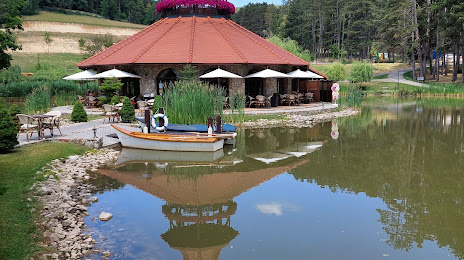
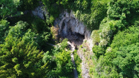
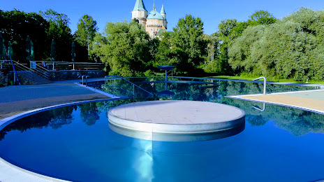
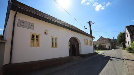
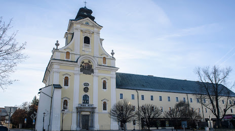
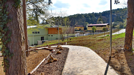
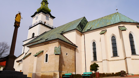
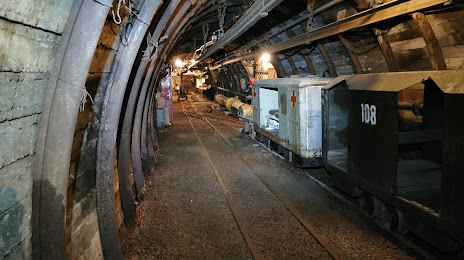
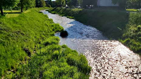
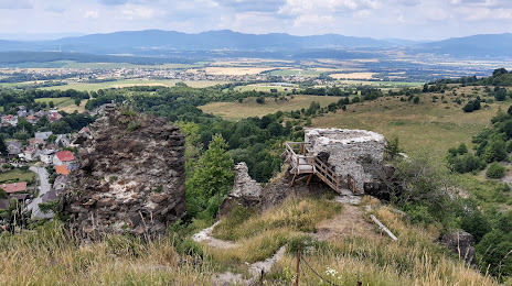
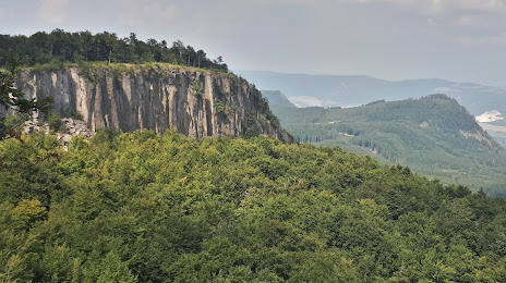
Attractions


Distance to the capital
Distance to the capital (Bratislava) is about — 132 km.