
 Kežmarok
Rožňava
Spišská Nová Ves
Stará Ľubovňa
Komárno
Púchov
Krompachy
Štrbské Pleso
Hlohovec
Stará Lesná
Michalovce
Prešov
Zvolen
Liptovský Mikuláš
Prievidza
Martin Airport
Nitra
Trnava
Banka
Kežmarok
Rožňava
Spišská Nová Ves
Stará Ľubovňa
Komárno
Púchov
Krompachy
Štrbské Pleso
Hlohovec
Stará Lesná
Michalovce
Prešov
Zvolen
Liptovský Mikuláš
Prievidza
Martin Airport
Nitra
Trnava
Banka
Šamorín on the map, Slovakia
Where is located Šamorín
Exact location — Šamorín, Dunajská Streda District, Trnava Region, Slovakia, marked on the map with a red marker.
Coordinates
Šamorín, Slovakia coordinates in decimal format: latitude — 48.0280907, longitude — 17.3137682. When converted to degrees, minutes, seconds Šamorín has the following coordinates: 48°1′41.13 north latitude and 17°18′49.57 east longitude.
Population
Šamorín, Dunajská Streda District, Trnava Region, Slovakia, according to our data the population is — 12,143 residents, which is about 0.2% of the total population of the country (Slovakia).
Comparison of the population on the graph:
Exact time
Time zone for this location Šamorín — UTC +2 Europe/Bratislava. Exact time — thursday, 6 june 2024 year, 10 h. 34 minutes.
Sunrise and sunset
Šamorín, sunrise and sunset data for a date — thursday 13.06.2024.
| Sunrise | Sunset | Day (duration) |
|---|---|---|
| 04:54 -0 minutes | 20:46 -0 minutes | 15 h. 54 minutes. -0 minutes |
You can control the scale of the map using the auxiliary tools to find out exactly where it is located Šamorín. When you change the scale of the map, the width of the ruler also changes (in kilometers and miles).
Nearby cities
The largest cities that are located nearby:
- Győr
 (Hungary) — 45 km
 - Vienna
 (Austria) — 72 km
 - Székesfehérvár (Hungary) — 125 km
- Brno
 (Czech Republic) — 139 km
 - Budapest (Hungary) — 142 km
- Olomouc (Czech Republic) — 173 km
- Graz (Austria) — 176 km
- Ostrava (Czech Republic) — 209 km
- Kecskemét (Hungary) — 219 km
- Linz (Austria) — 225 km
- Pécs (Hungary) — 227 km
- Bielsko-Biala
 (Poland) — 234 km
 - Rybnik (Poland) — 245 km
- Miskolc (Hungary) — 255 km
- Zagreb
 (Croatia) — 265 km
 - Gliwice (Poland) — 268 km
- Ruda Slaska (Poland) — 269 km
- Zabrze (Poland) — 274 km
- Katowice (Poland) — 275 km
Distance to neighboring capitals:
- Vienna (Austria) — 73 km
- Budapest (Hungary) — 142 km
- Ljubljana
 (Slovenia) — 306 km
 - Prague (Czech Republic) — 309 km
- Belgrade
 (Serbia) — 433 km
 - Warsaw (Poland) — 536 km
- Berlin
 (Germany) — 571 km
 - Bucharest
 (Romania) — 785 km
 - Minsk
 (Belarus) — 969 km
 - Kyiv
 (Ukraine) — 995 km
 - Moscow
 (Russia) — 1628 km
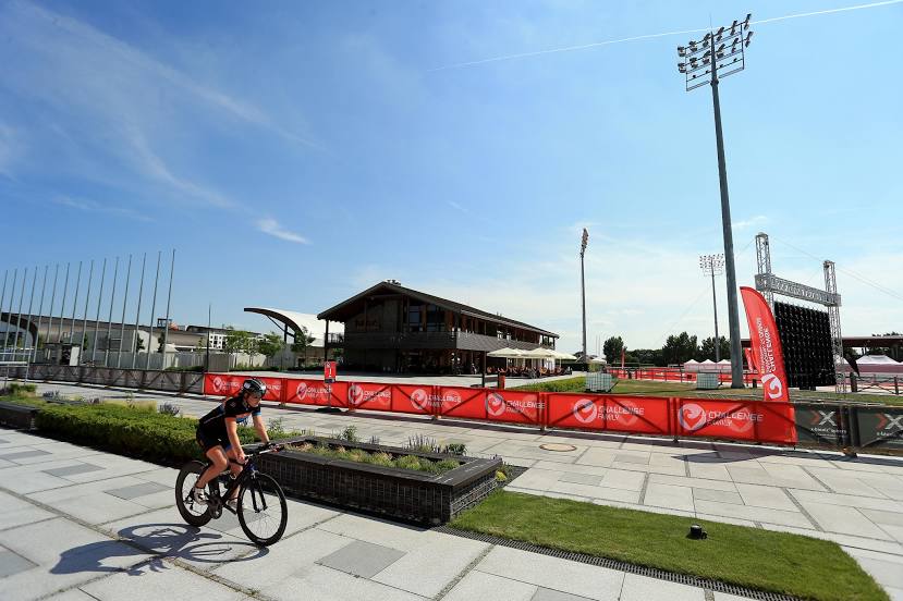
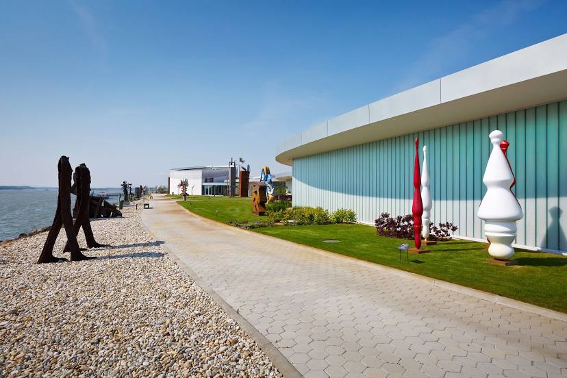
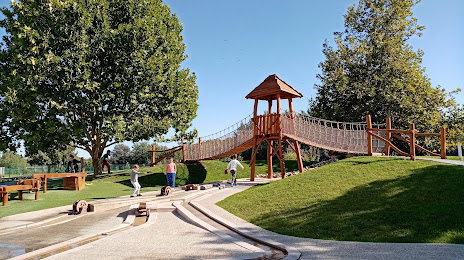
Attractions


Distance to the capital
Distance to the capital (Bratislava) is about — 20 km.