
 Šaľa
Poprad
Štúrovo
Trebišov
Bardejov
Žiar nad Hronom
Šamorín
Dolný Kubín
Topoľčany
Žilina
Banská Bystrica
Lozorno
Nové Mesto nad Váhom
Bratislava
Lesnica
Šaľa
Poprad
Štúrovo
Trebišov
Bardejov
Žiar nad Hronom
Šamorín
Dolný Kubín
Topoľčany
Žilina
Banská Bystrica
Lozorno
Nové Mesto nad Váhom
Bratislava
Lesnica
Nitra on the map, Slovakia
Where is located Nitra
Exact location — Nitra, Nitra District, Nitra Region, Slovakia, marked on the map with a red marker.
Coordinates
Nitra, Slovakia coordinates in decimal format: latitude — 48.3148451, longitude — 18.0879864. When converted to degrees, minutes, seconds Nitra has the following coordinates: 48°18′53.44 north latitude and 18°5′16.75 east longitude.
Population
Nitra, Nitra District, Nitra Region, Slovakia, according to our data the population is — 86,329 residents, which is about 1.6% of the total population of the country (Slovakia).
Comparison of the population on the graph:
Exact time
Time zone for this location Nitra — UTC +2 Europe/Bratislava. Exact time — monday, 5 may 2024 year, 18 h. 32 minutes.
Sunrise and sunset
Nitra, sunrise and sunset data for a date — monday 20.05.2024.
| Sunrise | Sunset | Day (duration) |
|---|---|---|
| 05:05 -1 minute | 20:23 +1 minute | 15 h. 18 minutes. +2 minutes |
You can control the scale of the map using the auxiliary tools to find out exactly where it is located Nitra. When you change the scale of the map, the width of the ruler also changes (in kilometers and miles).
Nearby cities
The largest cities that are located nearby:
- Győr
 (Hungary) — 77 km
 - Budapest (Hungary) — 115 km
- Vienna
 (Austria) — 127 km
 - Székesfehérvár (Hungary) — 127 km
- Brno
 (Czech Republic) — 145 km
 - Olomouc (Czech Republic) — 154 km
- Ostrava (Czech Republic) — 167 km
- Bielsko-Biala
 (Poland) — 180 km
 - Kecskemét (Hungary) — 198 km
- Miskolc (Hungary) — 199 km
- Rybnik (Poland) — 200 km
- Ruda Slaska (Poland) — 221 km
- Gliwice (Poland) — 223 km
- Katowice (Poland) — 226 km
- Chorzow (Poland) — 228 km
- Zabrze (Poland) — 228 km
- Sosnowiec (Poland) — 229 km
- Bytom (Poland) — 232 km
- Kraków (Poland) — 234 km
Distance to neighboring capitals:
- Budapest (Hungary) — 115 km
- Vienna (Austria) — 127 km
- Prague (Czech Republic) — 330 km
- Ljubljana
 (Slovenia) — 369 km
 - Belgrade
 (Serbia) — 432 km
 - Warsaw (Poland) — 482 km
- Berlin
 (Germany) — 573 km
 - Bucharest
 (Romania) — 751 km
 - Minsk
 (Belarus) — 906 km
 - Kyiv
 (Ukraine) — 930 km
 - Moscow
 (Russia) — 1564 km
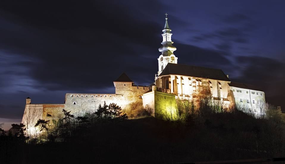
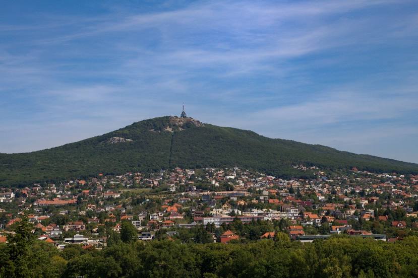
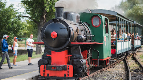
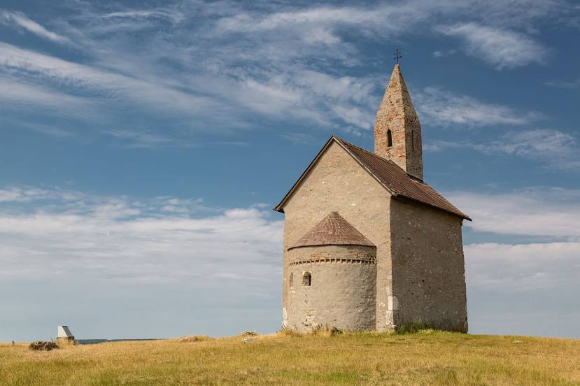
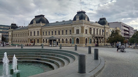
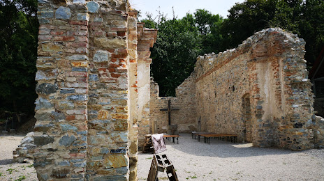
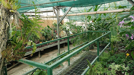
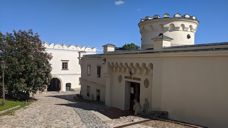
Attractions


Distance to the capital
Distance to the capital (Bratislava) is about — 75 km.