
 Humenné
Kežmarok
Rožňava
Spišská Nová Ves
Stará Ľubovňa
Komárno
Púchov
Krompachy
Štrbské Pleso
Michalovce
Prešov
Zvolen
Liptovský Mikuláš
Prievidza
Martin Airport
Nitra
Trnava
Banka
Airport Piešťany
Humenné
Kežmarok
Rožňava
Spišská Nová Ves
Stará Ľubovňa
Komárno
Púchov
Krompachy
Štrbské Pleso
Michalovce
Prešov
Zvolen
Liptovský Mikuláš
Prievidza
Martin Airport
Nitra
Trnava
Banka
Airport Piešťany
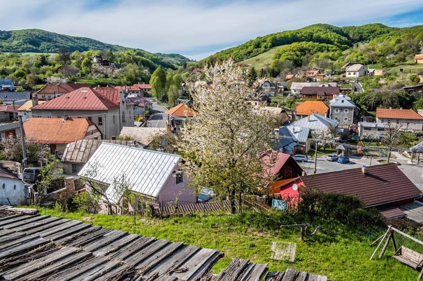
Žiar nad Hronom on the map, Slovakia
Where is located Žiar nad Hronom
Exact location — Žiar nad Hronom, Žiar nad Hronom District, Banská Bystrica Region, Slovakia, marked on the map with a red marker.
Coordinates
Žiar nad Hronom, Slovakia coordinates in decimal format: latitude — 48.5882665, longitude — 18.8493777. When converted to degrees, minutes, seconds Žiar nad Hronom has the following coordinates: 48°35′17.76 north latitude and 18°50′57.76 east longitude.
Population
Žiar nad Hronom, Žiar nad Hronom District, Banská Bystrica Region, Slovakia, according to our data the population is — 19,392 residents, which is about 0.4% of the total population of the country (Slovakia).
Comparison of the population on the graph:
Exact time
Time zone for this location Žiar nad Hronom — UTC +2 Europe/Bratislava. Exact time — thursday, 6 june 2024 year, 12 h. 13 minutes.
Sunrise and sunset
Žiar nad Hronom, sunrise and sunset data for a date — thursday 13.06.2024.
| Sunrise | Sunset | Day (duration) |
|---|---|---|
| 04:46 -0 minutes | 20:43 +1 minute | 16 h. 0 minutes. +1 minute |
You can control the scale of the map using the auxiliary tools to find out exactly where it is located Žiar nad Hronom. When you change the scale of the map, the width of the ruler also changes (in kilometers and miles).
Nearby cities
The largest cities that are located nearby:
- Budapest
 (Hungary) — 121 km
 - Győr (Hungary) — 134 km
- Bielsko-Biala
 (Poland) — 137 km
 - Ostrava
 (Czech Republic) — 143 km
 - Miskolc (Hungary) — 151 km
- Székesfehérvár (Hungary) — 158 km
- Olomouc (Czech Republic) — 160 km
- Rybnik (Poland) — 169 km
- Brno (Czech Republic) — 175 km
- Košice — 176 km
- Kraków (Poland) — 181 km
- Ruda Slaska (Poland) — 184 km
- Katowice (Poland) — 186 km
- Vienna
 (Austria) — 187 km
 - Sosnowiec (Poland) — 189 km
- Gliwice (Poland) — 189 km
- Chorzow (Poland) — 189 km
- Zabrze (Poland) — 192 km
- Dabrowa Gornicza (Poland) — 193 km
Distance to neighboring capitals:
- Budapest (Hungary) — 122 km
- Vienna (Austria) — 188 km
- Prague (Czech Republic) — 360 km
- Ljubljana
 (Slovenia) — 432 km
 - Warsaw (Poland) — 433 km
- Belgrade
 (Serbia) — 440 km
 - Berlin
 (Germany) — 582 km
 - Bucharest
 (Romania) — 722 km
 - Minsk
 (Belarus) — 846 km
 - Kyiv
 (Ukraine) — 867 km
 - Moscow
 (Russia) — 1501 km
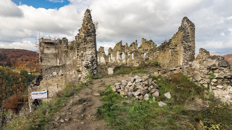
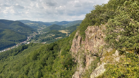
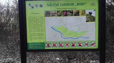
Attractions

Distance to the capital
Distance to the capital (Bratislava) is about — 138 km.