
 Rožňava
Spišská Nová Ves
Stará Ľubovňa
Komárno
Púchov
Krompachy
Štrbské Pleso
Hlohovec
Pezinok
Tatranská Lomnica
Stará Lesná
Michalovce
Prešov
Zvolen
Liptovský Mikuláš
Prievidza
Martin Airport
Nitra
Trnava
Rožňava
Spišská Nová Ves
Stará Ľubovňa
Komárno
Púchov
Krompachy
Štrbské Pleso
Hlohovec
Pezinok
Tatranská Lomnica
Stará Lesná
Michalovce
Prešov
Zvolen
Liptovský Mikuláš
Prievidza
Martin Airport
Nitra
Trnava
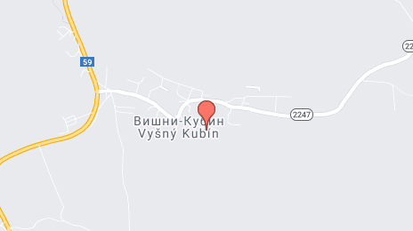
Dolný Kubín on the map, Slovakia
Where is located Dolný Kubín
Exact location — Dolný Kubín, Dolný Kubín District, Žilina Region, Slovakia, marked on the map with a red marker.
Coordinates
Dolný Kubín, Slovakia coordinates in decimal format: latitude — 49.2090236, longitude — 19.2953678. When converted to degrees, minutes, seconds Dolný Kubín has the following coordinates: 49°12′32.48 north latitude and 19°17′43.32 east longitude.
Population
Dolný Kubín, Dolný Kubín District, Žilina Region, Slovakia, according to our data the population is — 20,401 residents, which is about 0.4% of the total population of the country (Slovakia).
Comparison of the population on the graph:
Exact time
Time zone for this location Dolný Kubín — UTC +2 Europe/Bratislava. Exact time — thursday, 6 june 2024 year, 04 h. 17 minutes.
Sunrise and sunset
Dolný Kubín, sunrise and sunset data for a date — thursday 13.06.2024.
| Sunrise | Sunset | Day (duration) |
|---|---|---|
| 04:41 -0 minutes | 20:44 +1 minute | 16 h. 6 minutes. +1 minute |
You can control the scale of the map using the auxiliary tools to find out exactly where it is located Dolný Kubín. When you change the scale of the map, the width of the ruler also changes (in kilometers and miles).
Nearby cities
The largest cities that are located nearby:
- Bielsko-Biala
 (Poland) — 70 km
 - Ostrava
 (Czech Republic) — 100 km
 - Kraków (Poland) — 105 km
- Rybnik (Poland) — 112 km
- Katowice (Poland) — 118 km
- Ruda Slaska (Poland) — 120 km
- Sosnowiec (Poland) — 120 km
- Chorzow (Poland) — 123 km
- Dabrowa Gornicza (Poland) — 123 km
- Gliwice (Poland) — 128 km
- Zabrze (Poland) — 129 km
- Bytom (Poland) — 129 km
- Tarnow (Poland) — 149 km
- Olomouc (Czech Republic) — 153 km
- Košice — 153 km
- Miskolc
 (Hungary) — 164 km
 - Częstochowa (Poland) — 178 km
- Opole (Poland) — 189 km
- Budapest (Hungary) — 190 km
Distance to neighboring capitals:
- Budapest (Hungary) — 191 km
- Vienna
 (Austria) — 242 km
 - Warsaw (Poland) — 357 km
- Prague (Czech Republic) — 363 km
- Belgrade
 (Serbia) — 500 km
 - Ljubljana
 (Slovenia) — 502 km
 - Berlin
 (Germany) — 553 km
 - Bucharest
 (Romania) — 742 km
 - Minsk
 (Belarus) — 773 km
 - Kyiv
 (Ukraine) — 817 km
 - Moscow
 (Russia) — 1433 km
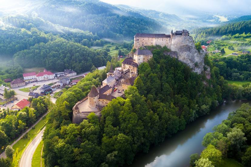
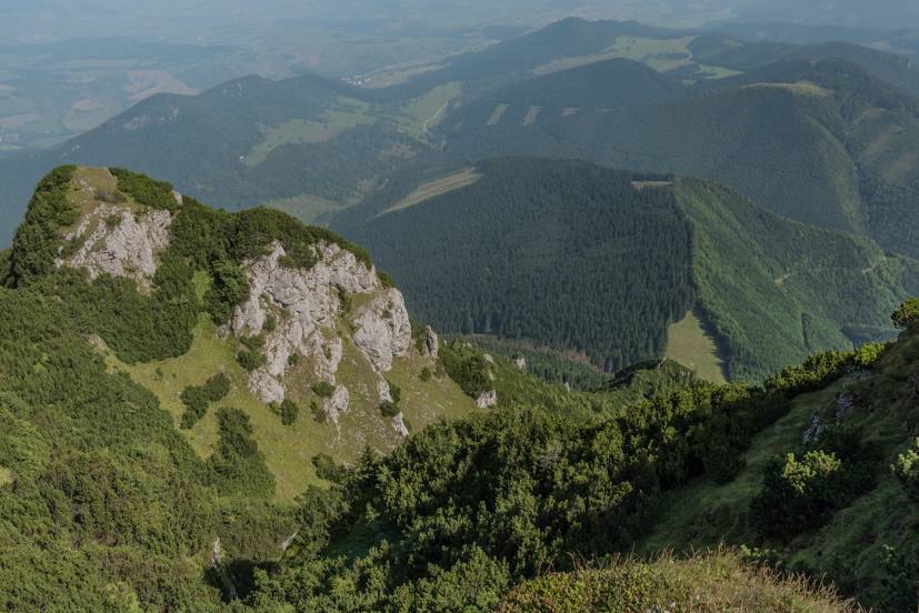
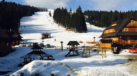
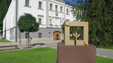
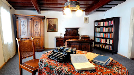
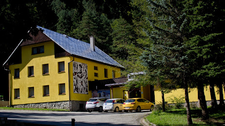
Attractions


Distance to the capital
Distance to the capital (Bratislava) is about — 200 km.