
 Vítkovce
Harhaj
Blatná Polianka
Orlov
Bzenov
Chrastné
Dolná Poruba
Kvačany
Kožuchovce
Vítkovce
Harhaj
Blatná Polianka
Orlov
Bzenov
Chrastné
Dolná Poruba
Kvačany
Kožuchovce
Areál slonov on the map, Prievidza, Slovakia
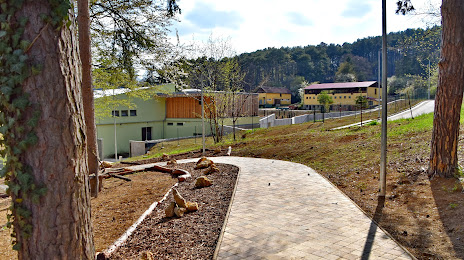
Photo
Where is located Areál slonov
Areál slonov — local attraction, which is located at Zámok a okolie 1611/18, 972 01 Bojnice, Slovakia and belongs to the category — zoo. Average visitor rating for this place — 5.0 (according to 1 rating, information from open sources and relevant for 2022).
Exact location — Areál slonov, marked on the map with a red marker.
You can get directions to Areál slonov on the map from your location.
What else is interesting in Prievidza? You can see all the sights if you go to the city page.
Coordinates
Areál slonov, Slovakia coordinates in decimal format: latitude — 48.7830440671714, longitude — 18.574971325221153. When converted to degrees, minutes, seconds Areál slonov has the following coordinates: 48°46′58.96 north latitude and 18°34′29.9 east longitude.
Nearby cities
The largest cities that are located nearby:
- Ostrava
 (Czech Republic) — 119 km
 - Bielsko-Biala
 (Poland) — 120 km
 - Olomouc (Czech Republic) — 134 km
- Győr
 (Hungary) — 140 km
 - Budapest (Hungary) — 144 km
- Rybnik (Poland) — 147 km
- Brno (Czech Republic) — 153 km
- Ruda Slaska (Poland) — 165 km
- Katowice (Poland) — 168 km
- Gliwice (Poland) — 169 km
- Chorzow (Poland) — 170 km
- Sosnowiec (Poland) — 171 km
- Kraków (Poland) — 171 km
- Zabrze (Poland) — 172 km
- Miskolc (Hungary) — 175 km
- Bytom (Poland) — 176 km
- Székesfehérvár (Hungary) — 176 km
- Dabrowa Gornicza (Poland) — 176 km
- Vienna
 (Austria) — 177 km
Distance to the capital
Distance to the capital (Bratislava) is about — 129 km.