Salgado Filho — Roque Gonzales
Salgado Filho — Resende
Salgado Filho — Rio Paranaíba
Salgado Filho — Miracema do Tocantins
Salgado Filho — Rio Grande
Salgado Filho — Boa Vista
Salgado Filho — Capanema
Salgado Filho — Tuneiras do Oeste
Salgado Filho — Imbé
Salgado Filho — Sabará
Salgado Filho — Maranguape
Salgado Filho — Formiga
Salgado Filho — Vitória
Salgado Filho — Cubatão
Salgado Filho — Inema
Salgado Filho — Rodolfo Fernandes
Salgado Filho — Santa Clara
Salgado Filho — Mulungu
Salgado Filho — Mucurici
Marmeleiro
Pato Branco
Mariópolis
Clevelândia
Palmas
General Carneiro
União da Vitória
Paulo Frontin
São Mateus do Sul
Lapa
Contenda
Araucária
São José dos Pinhais
Piraquara
Quatro Barras
Campina Grande do Sul
Cajati
Registro
Miracatu
Pedro de Toledo
Peruíbe
Mongaguá
Spa Esmeralda
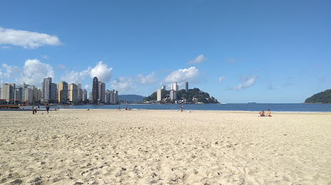
Salgado Filho — Praia Grande distance, route on the map
Distance by car
Distance between Salgado Filho, Paraná, Brazil and Praia Grande, São Paulo, Brazil by car is — km, or miles. To travel this distance by car, you need minute, or h.
Route on the map, driving directions
Car route Salgado Filho — Praia Grande was created automatically. The road on the map is shown as a blue line. By moving the markers, you can create a new route through the points you need.
Passing cities through which the car route passes: Marmeleiro, Marmeleiro, Pato Branco, Mariópolis, Clevelândia, Palmas, General Carneiro, União da Vitória, Paulo Frontin, São Mateus do Sul, Lapa, Contenda, Araucária, São José dos Pinhais, Piraquara, Quatro Barras, Campina Grande do Sul, Cajati, Registro, Miracatu, Pedro de Toledo, Peruíbe, Mongaguá, Spa Esmeralda.
Distance by plane
If you decide to take a trip Salgado Filho Praia Grande by plane, then you have to fly the distance — 740 km or 459 miles. It is marked on the map with a gray line (between two points in a straight line).
Flight time
Estimated flight time Salgado Filho Praia Grande by plane at cruising speed 750 km / h will be — 59 min.
Direction of movement
Brazil, Salgado Filho — right-hand traffic. Brazil, Praia Grande — right-hand traffic.
Difference in time
Salgado Filho and Praia Grande are in the same time zone. Between them there is no time difference (UTC -3 America/Sao_Paulo).
Interesting Facts
Information on alternative ways to get to your destination.
The length of this distance is about 1.8% of the total length of the equator.
The percentage of the population is clearly shown in the graph:
Salgado Filho — 5,499 (less by 244,533), Praia Grande — 250,032 residents.
The cost of travel
Calculate the cost of the trip yourself using the fuel consumption calculator, changing the data in the table.