Pardinho
Lucélia
Altamira
Itaituba
Bragança
Parintins
Capanema
Cruz
Itamaraju
Américo Brasiliense
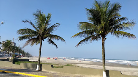
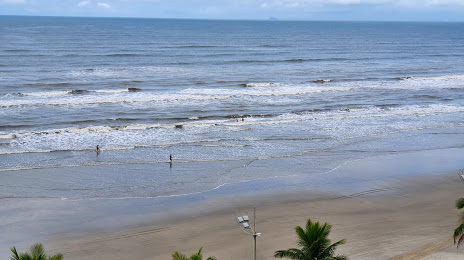
Praia Grande
São Simão
Votorantim
Louveira
Tupã
Planalto
Santa Helena
Guaraniaçu
Clevelândia
Pardinho
Lucélia
Altamira
Itaituba
Bragança
Parintins
Capanema
Cruz
Itamaraju
Américo Brasiliense
Praia Grande
São Simão
Votorantim
Louveira
Tupã
Planalto
Santa Helena
Guaraniaçu
Clevelândia
Mongaguá on the map, Brazil
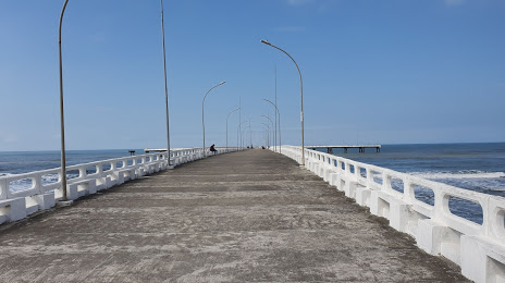
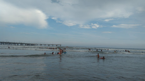
Where is located Mongaguá
Exact location — Mongaguá, Mongaguá, São Paulo, Brazil, marked on the map with a red marker.
Coordinates
Mongaguá, Brazil coordinates in decimal format: latitude — -24.1075246, longitude — -46.6801919. When converted to degrees, minutes, seconds Mongaguá has the following coordinates: -24°6′27.09 north latitude and -46°40′48.69 east longitude.
Population
Mongaguá, Mongaguá, São Paulo, Brazil, according to our data the population is — 45,931 residents, which is about 0% of the total population of the country (Brazil).
Comparison of the population on the graph:
Exact time
Time zone for this location Mongaguá — UTC -3 America/Sao_Paulo. Exact time — sunday, 4 april 2024 year, 13 h. 04 minutes.
Sunrise and sunset
Mongaguá, sunrise and sunset data for a date — sunday 28.04.2024.
| Sunrise | Sunset | Day (duration) |
|---|---|---|
| 06:29 +1 minute | 17:38 -1 minute | 11 h. 12 minutes. -2 minutes |
You can control the scale of the map using the auxiliary tools to find out exactly where it is located Mongaguá. When you change the scale of the map, the width of the ruler also changes (in kilometers and miles).
Nearby cities
The largest cities that are located nearby:
- Praia Grande — 29 km
- São Vicente — 33 km
- Cubatão — 35 km
- Santos — 39 km
- Guarujá — 45 km
- Diadema — 47 km
- São Bernardo do Campo — 48 km
- Saint Andrew — 50 km
- Ribeirão Pires — 52 km
- Mauá — 53 km
- Taboão da Serra — 55 km
- São Caetano do Sul — 55 km
- Cotia — 61 km
- São Paulo — 62 km
- Osasco — 65 km
- Carapicuiba — 67 km
- Itapevi — 67 km
- Jandira — 68 km
- Barueri — 69 km
Distance to neighboring capitals:
- Asuncion
 (Paraguay) — 1108 km
 - Asuncion (Paraguay) — 1114 km
- Montevideo
 (Uruguay) — 1510 km
 - Buenos Aires
 (Argentina) — 1625 km
 - Nuestra Señora de La Paz
 (Bolivia) — 2390 km
 - Santiago
 (Chile) — 2549 km
 - Paramaribo
 (Suriname) — 3458 km
 - Georgetown
 (Guyana) — 3657 km
 - Quito
 (Ecuador) — 4338 km
 - Bogota
 (Colombia) — 4359 km
 - Caracas
 (Venezuela) — 4436 km