Pitangueiras
Pereira Barreto
Mongaguá
Palmital
Santa Adélia
Serrana
Buri
Bebedouro
Extrema
Sertanópolis
Andirá
Jandaia do Sul
Rolândia
São Luiz Gonzaga
Dores do Indaiá
Itanhandu
São Lourenço
Sacramento
Carangola
Pitangueiras
Pereira Barreto
Mongaguá
Palmital
Santa Adélia
Serrana
Buri
Bebedouro
Extrema
Sertanópolis
Andirá
Jandaia do Sul
Rolândia
São Luiz Gonzaga
Dores do Indaiá
Itanhandu
São Lourenço
Sacramento
Carangola
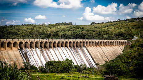
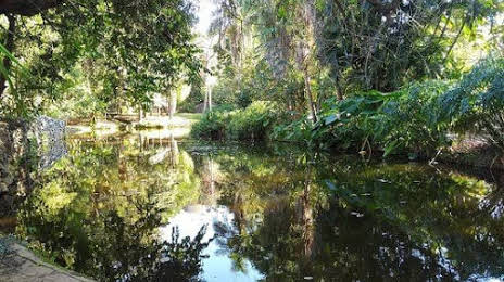
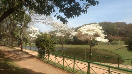
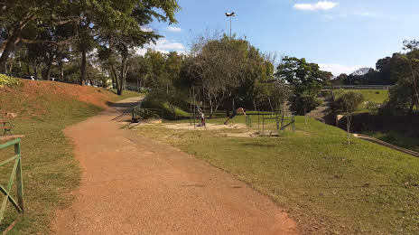
Votorantim on the map, Brazil
Where is located Votorantim
Exact location — Votorantim, Votorantim, São Paulo, Brazil, marked on the map with a red marker.
Coordinates
Votorantim, Brazil coordinates in decimal format: latitude — -23.540286, longitude — -47.4445978. When converted to degrees, minutes, seconds Votorantim has the following coordinates: -23°32′25.03 north latitude and -47°26′40.55 east longitude.
Population
Votorantim, Votorantim, São Paulo, Brazil, according to our data the population is — 99,392 residents, which is about 0% of the total population of the country (Brazil).
Comparison of the population on the graph:
Exact time
Time zone for this location Votorantim — UTC -3 America/Sao_Paulo. Exact time — saturday, 4 april 2024 year, 06 h. 07 minutes.
Sunrise and sunset
Votorantim, sunrise and sunset data for a date — saturday 27.04.2024.
| Sunrise | Sunset | Day (duration) |
|---|---|---|
| 06:31 +1 minute | 17:43 -1 minute | 11 h. 12 minutes. -2 minutes |
You can control the scale of the map using the auxiliary tools to find out exactly where it is located Votorantim. When you change the scale of the map, the width of the ruler also changes (in kilometers and miles).
Nearby cities
The largest cities that are located nearby:
- Sorocaba — 4 km
- Itu — 35 km
- Itapevi — 52 km
- Cotia — 54 km
- Jandira — 55 km
- Indaiatuba — 55 km
- Barueri — 58 km
- Carapicuiba — 61 km
- Itapetininga — 61 km
- Osasco — 66 km
- Taboão da Serra — 68 km
- Jundiaí — 68 km
- Várzea Paulista — 73 km
- Franco da Rocha — 76 km
- Francisco Morato — 77 km
- Hortolândia — 79 km
- Campinas — 80 km
- Sumaré — 81 km
- São Paulo — 82 km
Distance to neighboring capitals:
- Asuncion
 (Paraguay) — 1044 km
 - Asuncion (Paraguay) — 1050 km
- Montevideo
 (Uruguay) — 1519 km
 - Buenos Aires
 (Argentina) — 1624 km
 - Nuestra Señora de La Paz
 (Bolivia) — 2298 km
 - Santiago
 (Chile) — 2514 km
 - Paramaribo
 (Suriname) — 3376 km
 - Georgetown
 (Guyana) — 3570 km
 - Quito
 (Ecuador) — 4238 km
 - Bogota
 (Colombia) — 4259 km
 - Caracas
 (Venezuela) — 4341 km