Prado
Pardinho
Lucélia
Altamira
Itaituba
Bragança
Parintins
Capanema
Cruz
Praia Grande
São Simão
Votorantim
Louveira
Tupã
Planalto
Santa Helena
Guaraniaçu
Clevelândia
São Miguel do Iguaçu
Prado
Pardinho
Lucélia
Altamira
Itaituba
Bragança
Parintins
Capanema
Cruz
Praia Grande
São Simão
Votorantim
Louveira
Tupã
Planalto
Santa Helena
Guaraniaçu
Clevelândia
São Miguel do Iguaçu
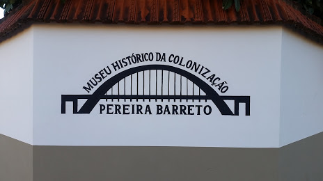
Pereira Barreto on the map, Brazil
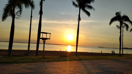
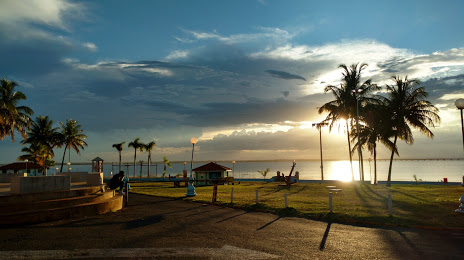
Where is located Pereira Barreto
Exact location — Pereira Barreto, Pereira Barreto, São Paulo, Brazil, marked on the map with a red marker.
Coordinates
Pereira Barreto, Brazil coordinates in decimal format: latitude — -20.6436652, longitude — -51.1110523. When converted to degrees, minutes, seconds Pereira Barreto has the following coordinates: -20°38′37.19 north latitude and -51°6′39.79 east longitude.
Population
Pereira Barreto, Pereira Barreto, São Paulo, Brazil, according to our data the population is — 22,537 residents, which is about 0% of the total population of the country (Brazil).
Comparison of the population on the graph:
Exact time
Time zone for this location Pereira Barreto — UTC -3 America/Sao_Paulo. Exact time — saturday, 4 april 2024 year, 10 h. 46 minutes.
Sunrise and sunset
Pereira Barreto, sunrise and sunset data for a date — saturday 27.04.2024.
| Sunrise | Sunset | Day (duration) |
|---|---|---|
| 06:42 -0 minutes | 18:01 -1 minute | 11 h. 18 minutes. -1 minute |
You can control the scale of the map using the auxiliary tools to find out exactly where it is located Pereira Barreto. When you change the scale of the map, the width of the ruler also changes (in kilometers and miles).
Nearby cities
The largest cities that are located nearby:
- Birigui — 107 km
- Presidente Prudente — 166 km
- Marília — 211 km
- Catanduva — 227 km
- Assis — 234 km
- Barretos — 263 km
- Bauru — 280 km
- Maringá — 318 km
- Apucarana — 323 km
- Araraquara — 326 km
- Uberaba — 345 km
- Ribeirão Preto — 345 km
- Uberlândia — 353 km
- São Carlos — 363 km
- Campo Grande — 364 km
- Botucatu — 368 km
- Franca — 384 km
- Rio Claro — 412 km
- Dourados — 417 km
Distance to neighboring capitals:
- Asuncion
 (Paraguay) — 838 km
 - Asuncion (Paraguay) — 844 km
- Montevideo
 (Uruguay) — 1661 km
 - Buenos Aires
 (Argentina) — 1709 km
 - Nuestra Señora de La Paz
 (Bolivia) — 1853 km
 - Santiago
 (Chile) — 2395 km
 - Paramaribo
 (Suriname) — 2981 km
 - Georgetown
 (Guyana) — 3148 km
 - Quito
 (Ecuador) — 3745 km
 - Bogota
 (Colombia) — 3764 km
 - Caracas
 (Venezuela) — 3874 km