 Warner Robins
Wantagh
Bethel
Misty Hill Farm
United States
Wakonda Beach (R33) Airport
Wilmington
Poland
Miami International Airport
Warner Robins
Wantagh
Bethel
Misty Hill Farm
United States
Wakonda Beach (R33) Airport
Wilmington
Poland
Miami International Airport
Coxhall Gardens on the map, Indianapolis, United States
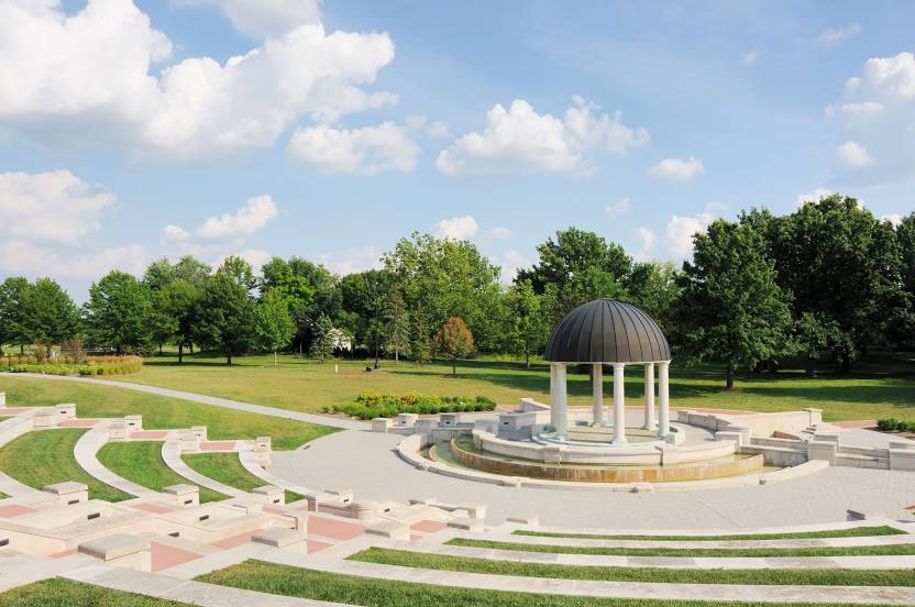
Photo
Where is located Coxhall Gardens
Coxhall Gardens — local attraction, which is located at 11677 Towne Rd, Carmel, IN 46032, United States and belongs to the category — park. Average visitor rating for this place — 4.7 (according to 609 ratings, information from open sources and relevant for 2022).
Exact location — Coxhall Gardens, marked on the map with a red marker.
You can get directions to Coxhall Gardens on the map from your location.
What else is interesting in Indianapolis? You can see all the sights if you go to the city page.
Coordinates
Coxhall Gardens, United States coordinates in decimal format: latitude — 39.9577828721319, longitude — -86.19704067506856. When converted to degrees, minutes, seconds Coxhall Gardens has the following coordinates: 39°57′28.02 north latitude and -86°11′49.35 east longitude.
Nearby cities
The largest cities that are located nearby:
- Cincinnati — 159 km
- Fort Wayne — 168 km
- Louisville — 171 km
- Springfield — 200 km
- South Bend — 211 km
- Evansville — 234 km
- Joliet — 251 km
- Chicago — 263 km
- Columbus — 269 km
- Naperville — 274 km
- Aurora — 283 km
- Toledo — 300 km
- Peoria — 305 km
- Ann Arbor — 341 km
- Lansing — 353 km
- Grand Rapids — 355 km
- Rockford — 366 km
- Saint Louis — 371 km
- Clarksville — 374 km
Distance to the capital
Distance to the capital (Washington) is about — 795 km.