 Warner Robins
Wantagh
Bethel
Misty Hill Farm
United States
Wakonda Beach (R33) Airport
Wilmington
Poland
Miami International Airport
Warner Robins
Wantagh
Bethel
Misty Hill Farm
United States
Wakonda Beach (R33) Airport
Wilmington
Poland
Miami International Airport
Hobie Island Beach Park on the map, Miami, United States
Photo
Where is located Hobie Island Beach Park
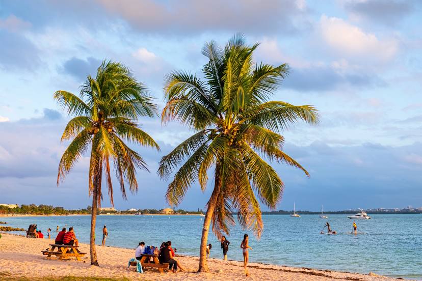
Hobie Island Beach Park — local attraction, which is located at Old, Rickenbacker Causeway, Miami, FL 33149, United States and belongs to the category — park. Average visitor rating for this place — 4.5 (according to 1568 ratings, information from open sources and relevant for 2022).
Exact location — Hobie Island Beach Park, marked on the map with a red marker.
You can get directions to Hobie Island Beach Park on the map from your location.
What else is interesting in Miami? You can see all the sights if you go to the city page.
Coordinates
Hobie Island Beach Park, United States coordinates in decimal format: latitude — 25.74588145766632, longitude — -80.19688458924604. When converted to degrees, minutes, seconds Hobie Island Beach Park has the following coordinates: 25°44′45.17 north latitude and -80°11′48.78 east longitude.
Nearby cities
The largest cities that are located nearby:
- Hialeah — 14 km
- Miramar — 27 km
- Hollywood — 28 km
- Pembroke Pines — 29 km
- Fort Lauderdale — 40 km
- Coral Springs — 57 km
- Port Saint Lucie — 168 km
- Cape Coral — 195 km
- Nassau
 (The Bahamas) — 295 km
 - Brandon — 316 km
- Saint Petersburg — 327 km
- Tampa — 328 km
- Orlando — 328 km
- Matanzas
 (Cuba) — 331 km
 - Clearwater — 353 km
- Havana (Cuba) — 357 km
- Santa Clara (Cuba) — 370 km
- Ciego De Avila (Cuba) — 458 km
- Gainesville — 476 km
Distance to the capital
Distance to the capital (Washington) is about — 1493 km.