 Dedham
Laconia
Merrimac
Syracuse
Addison
Norwell
Burlington
Belmont
Beaverton
South Plainfield
Saddle Brook
Albany
Cape May
Edison
Los Angeles
New Brunswick
Amesbury
Boca Raton
Dallas
Dedham
Laconia
Merrimac
Syracuse
Addison
Norwell
Burlington
Belmont
Beaverton
South Plainfield
Saddle Brook
Albany
Cape May
Edison
Los Angeles
New Brunswick
Amesbury
Boca Raton
Dallas
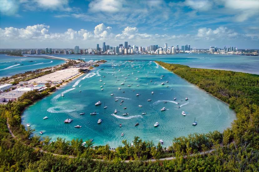
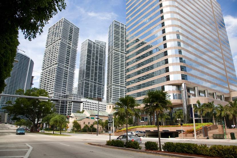
Miami on the map, United States
Where is located Miami
Exact location — Miami, Miami-Dade County, Florida, United States, marked on the map with a red marker.
Coordinates
Miami, United States coordinates in decimal format: latitude — 25.7616798, longitude — -80.1917902. When converted to degrees, minutes, seconds Miami has the following coordinates: 25°45′42.05 north latitude and -80°11′30.44 east longitude.
Population
Miami, Miami-Dade County, Florida, United States, according to our data the population is — 382,894 residents, which is about 0.1% of the total population of the country (United States).
Comparison of the population on the graph:
Exact time
Time zone for this location Miami — UTC -4 America/New_York. Exact time — friday, 4 april 2024 year, 04 h. 17 minutes.
Sunrise and sunset
Miami, sunrise and sunset data for a date — friday 26.04.2024.
| Sunrise | Sunset | Day (duration) |
|---|---|---|
| 06:49 -1 minute | 19:46 -0 minutes | 13 h. 0 minutes. +1 minute |
You can control the scale of the map using the auxiliary tools to find out exactly where it is located Miami. When you change the scale of the map, the width of the ruler also changes (in kilometers and miles).
Nearby cities
The largest cities that are located nearby:
- Hialeah — 14 km
- Miramar — 27 km
- Hollywood — 28 km
- Pembroke Pines — 29 km
- Fort Lauderdale — 40 km
- Coral Springs — 57 km
- Port Saint Lucie — 168 km
- Cape Coral — 195 km
- Nassau
 (The Bahamas) — 295 km
 - Brandon — 316 km
- Saint Petersburg — 327 km
- Tampa — 328 km
- Orlando — 328 km
- Matanzas
 (Cuba) — 331 km
 - Clearwater — 353 km
- Havana (Cuba) — 357 km
- Santa Clara (Cuba) — 370 km
- Ciego De Avila (Cuba) — 458 km
- Gainesville — 476 km
Distance to neighboring capitals:
- Belmopan
 (Belize) — 1297 km
 - Guatemala City
 (Guatemala) — 1643 km
 - Mexico City
 (Mexico) — 2066 km
 - Ottawa
 (Canada) — 2223 km
 - Nuuk
 (Greenland) — 4738 km
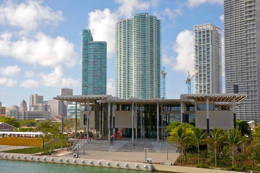
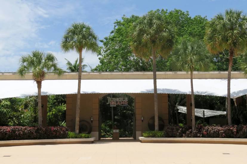
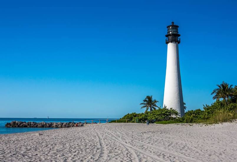
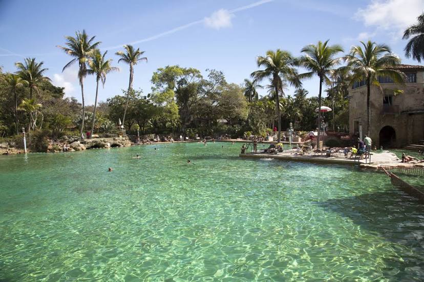
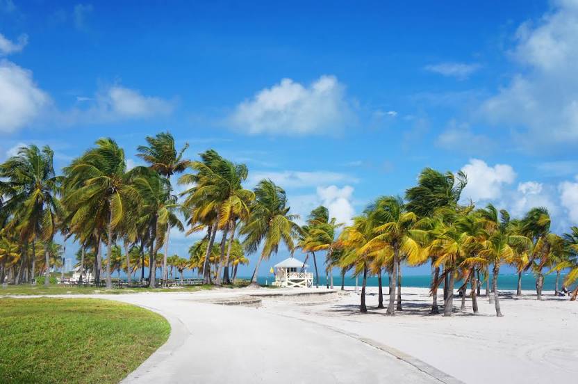
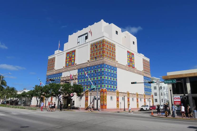
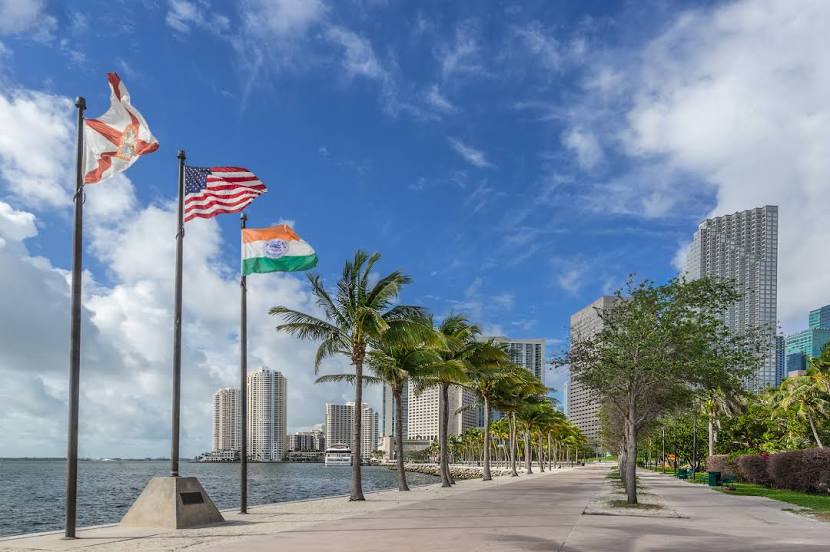
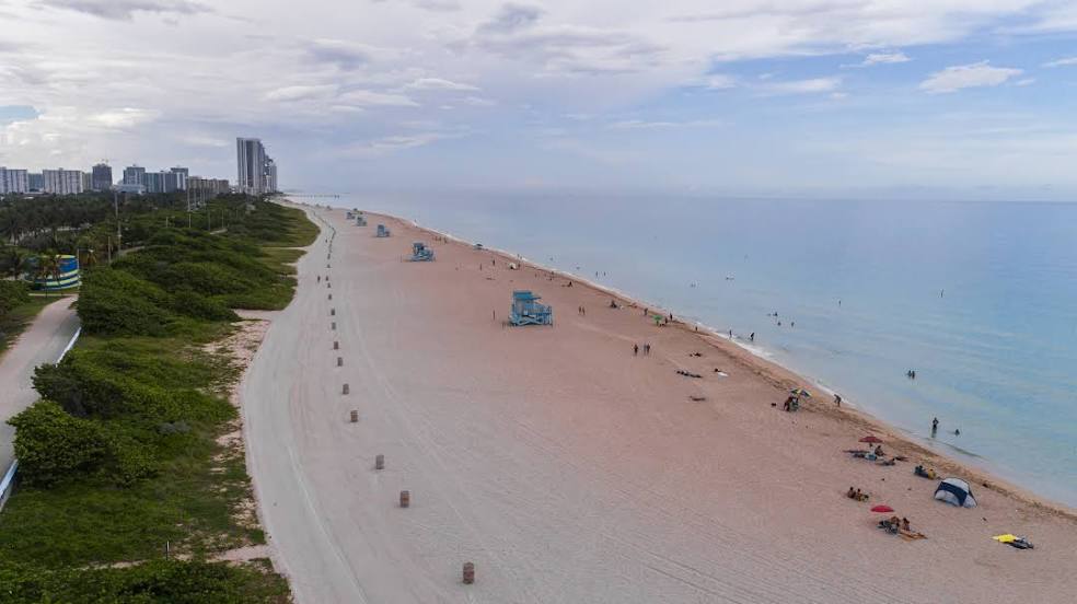
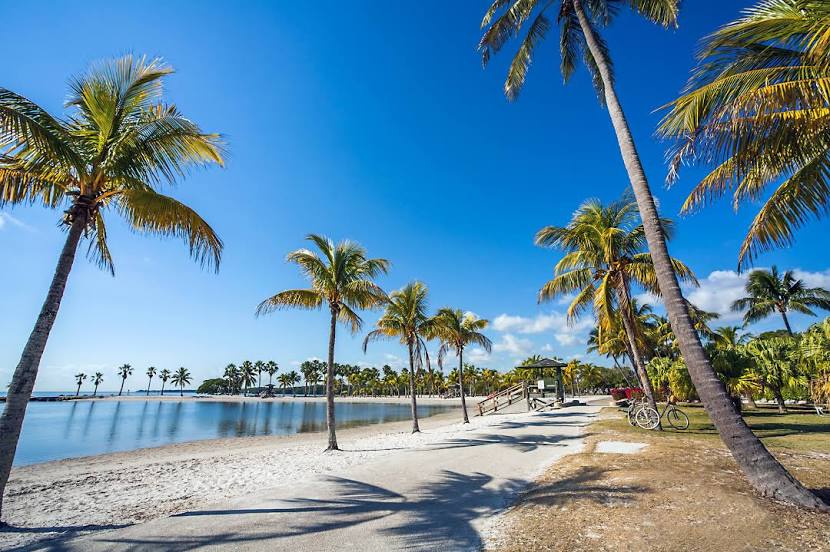
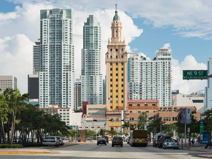
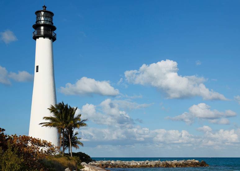
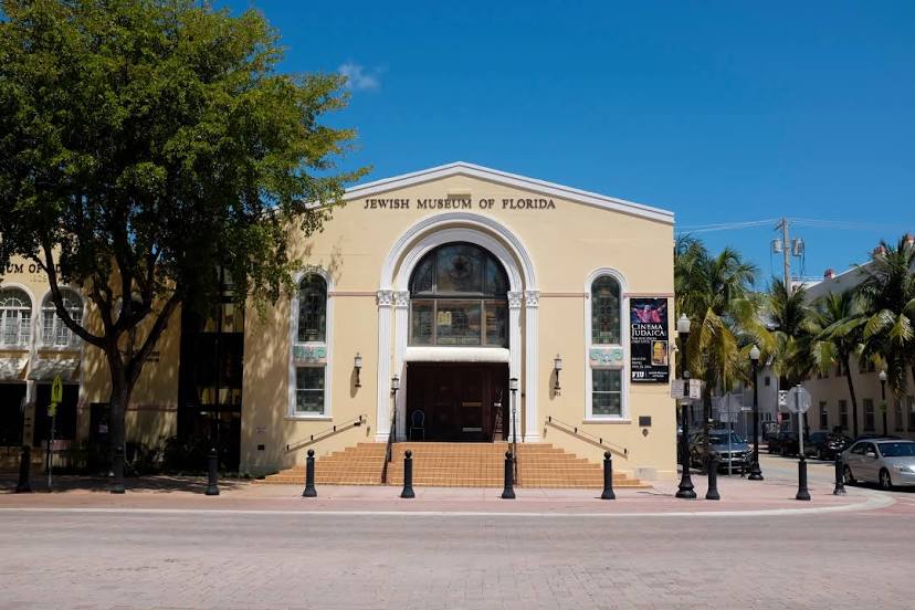
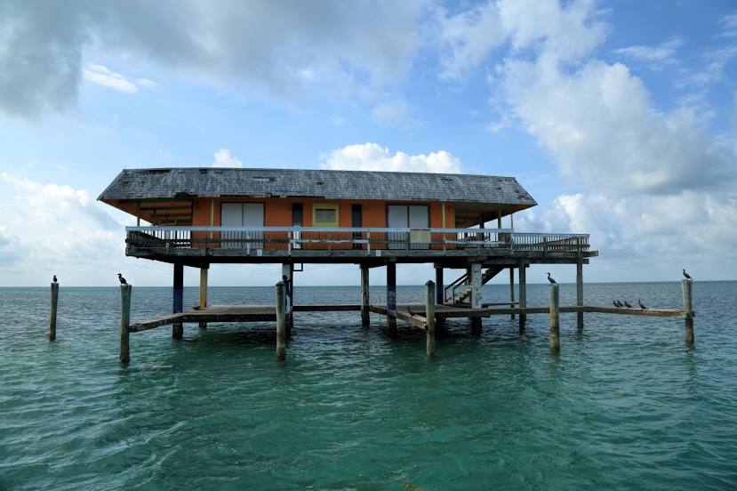
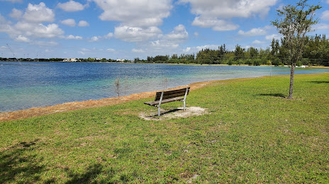
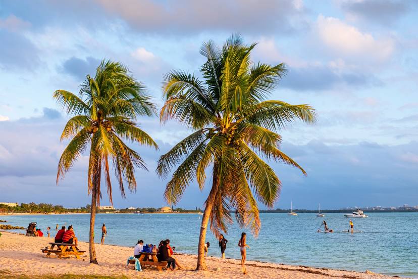
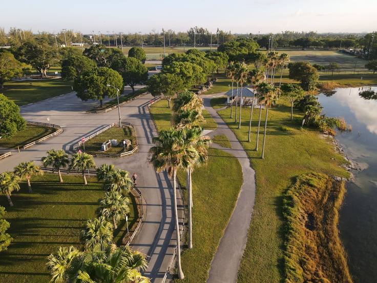
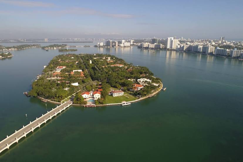
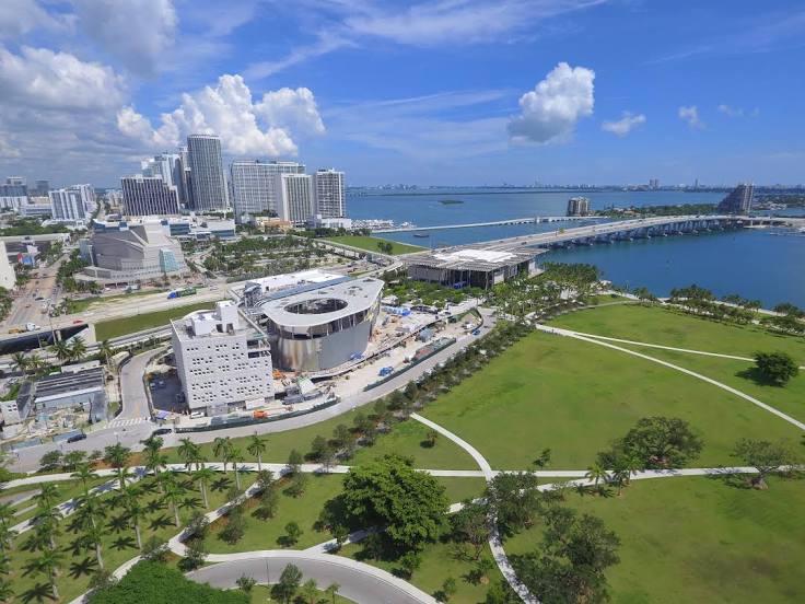
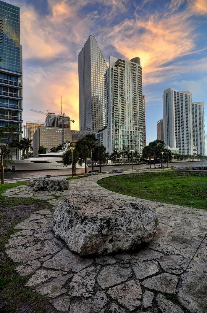
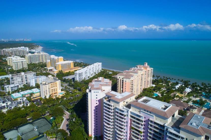
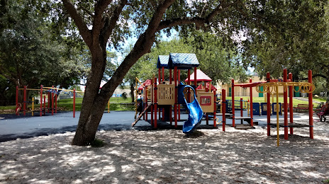
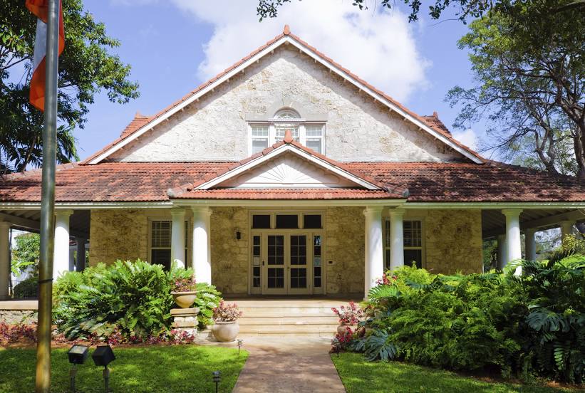
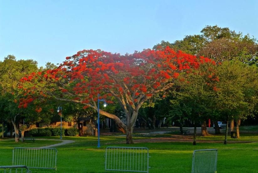
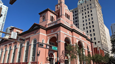
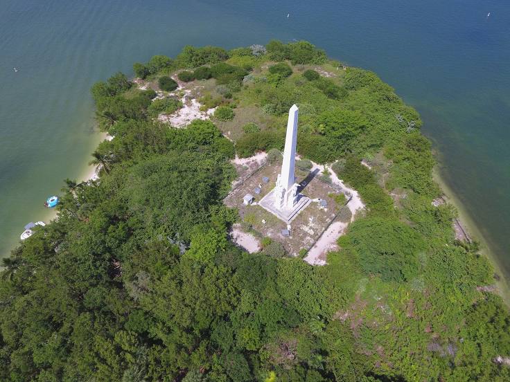
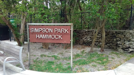
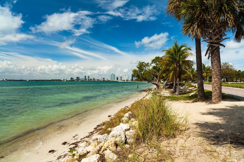
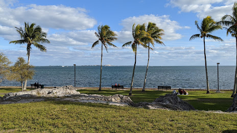
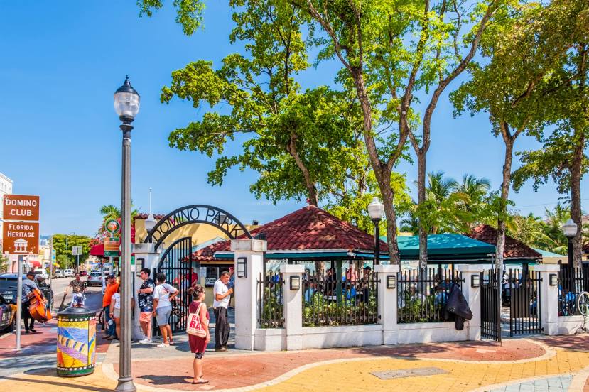
Attractions


Distance to the capital
Distance to the capital (Washington) is about — 1492 km.