 Warner Robins
Wantagh
Bethel
Misty Hill Farm
United States
Wakonda Beach (R33) Airport
Wilmington
Poland
Miami International Airport
Warner Robins
Wantagh
Bethel
Misty Hill Farm
United States
Wakonda Beach (R33) Airport
Wilmington
Poland
Miami International Airport
DeSoto Falls on the map, Fort Payne, United States
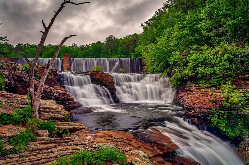
Photo
Where is located DeSoto Falls
DeSoto Falls — local attraction, which is located at 32 m and belongs to the category — -. Average visitor rating for this place — 4.8 (according to 264 ratings, information from open sources and relevant for 2022).
Exact location — DeSoto Falls, marked on the map with a red marker.
You can get directions to DeSoto Falls on the map from your location.
What else is interesting in Fort Payne? You can see all the sights if you go to the city page.
Coordinates
DeSoto Falls, United States coordinates in decimal format: latitude — 34.470728551525994, longitude — -85.65000265793904. When converted to degrees, minutes, seconds DeSoto Falls has the following coordinates: 34°28′14.62 north latitude and -85°39′0.01 east longitude.
Nearby cities
The largest cities that are located nearby:
- Chattanooga — 76 km
- Huntsville — 85 km
- Birmingham — 143 km
- Atlanta — 145 km
- Nashville — 212 km
- Knoxville — 232 km
- Montgomery — 236 km
- Clarksville — 273 km
- Memphis — 399 km
- Louisville — 421 km
- Evansville — 422 km
- Columbia — 432 km
- Charlotte — 449 km
- Tallahassee — 464 km
- Mobile — 470 km
- Jackson — 480 km
- Savannah — 505 km
- Winston-Salem — 522 km
- Cincinnati — 525 km
Distance to the capital
Distance to the capital (Washington) is about — 912 km.