 Saint Clair Shores
Crookston
Warner Robins
Vienna
Minneapolis
Norwich Landing Strip
Urbandale
Omro
Rosamond
Burlington
Norwell
Addison
Syracuse
Merrimac
Laconia
Dedham
Woburn
North Bend
Bedford
Saint Clair Shores
Crookston
Warner Robins
Vienna
Minneapolis
Norwich Landing Strip
Urbandale
Omro
Rosamond
Burlington
Norwell
Addison
Syracuse
Merrimac
Laconia
Dedham
Woburn
North Bend
Bedford
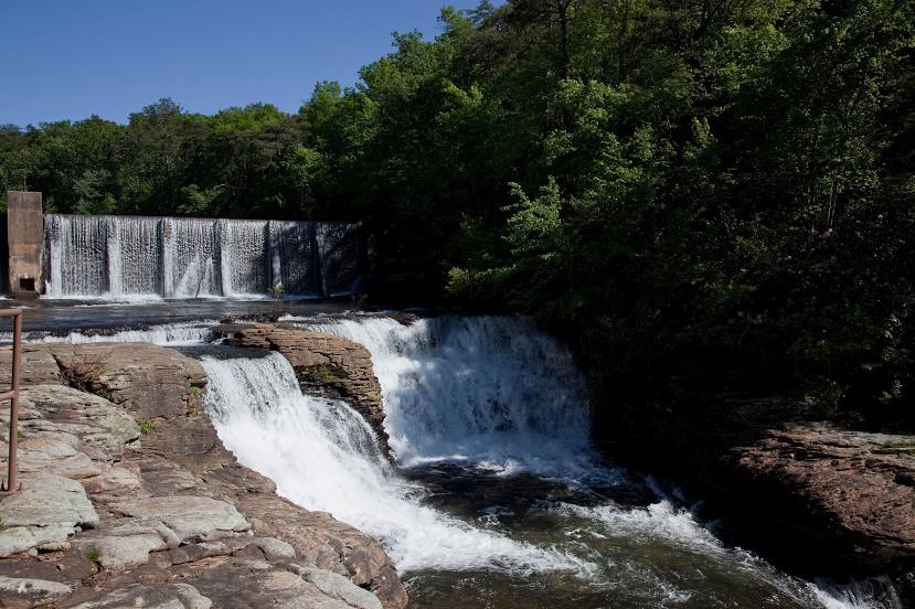
Fort Payne on the map, United States
Where is located Fort Payne
Exact location — Fort Payne, DeKalb County, Alabama, United States, marked on the map with a red marker.
Coordinates
Fort Payne, United States coordinates in decimal format: latitude — 34.4442547, longitude — -85.7196893. When converted to degrees, minutes, seconds Fort Payne has the following coordinates: 34°26′39.32 north latitude and -85°43′10.88 east longitude.
Population
Fort Payne, DeKalb County, Alabama, United States, according to our data the population is — 13,586 residents, which is about 0% of the total population of the country (United States).
Comparison of the population on the graph:
Exact time
Time zone for this location Fort Payne — UTC -5 America/Chicago. Exact time — friday, 4 april 2024 year, 11 h. 24 minutes.
Sunrise and sunset
Fort Payne, sunrise and sunset data for a date — friday 26.04.2024.
| Sunrise | Sunset | Day (duration) |
|---|---|---|
| 06:00 -1 minute | 19:20 -0 minutes | 13 h. 18 minutes. +1 minute |
You can control the scale of the map using the auxiliary tools to find out exactly where it is located Fort Payne. When you change the scale of the map, the width of the ruler also changes (in kilometers and miles).
Nearby cities
The largest cities that are located nearby:
- Chattanooga — 76 km
- Huntsville — 85 km
- Birmingham — 143 km
- Atlanta — 145 km
- Nashville — 212 km
- Knoxville — 232 km
- Montgomery — 236 km
- Clarksville — 273 km
- Memphis — 399 km
- Louisville — 421 km
- Evansville — 422 km
- Columbia — 432 km
- Charlotte — 449 km
- Tallahassee — 464 km
- Mobile — 470 km
- Jackson — 480 km
- Savannah — 505 km
- Winston-Salem — 522 km
- Cincinnati — 525 km
Distance to neighboring capitals:
- Ottawa
 (Canada) — 1488 km
 - Belmopan
 (Belize) — 1936 km
 - Mexico City
 (Mexico) — 2130 km
 - Guatemala City
 (Guatemala) — 2258 km
 - Nuuk
 (Greenland) — 4026 km
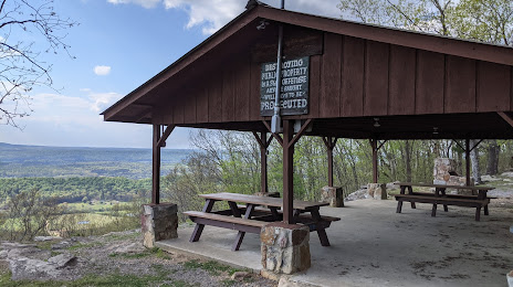
Attractions


Distance to the capital
Distance to the capital (Washington) is about — 919 km.