 Warner Robins
Wantagh
Bethel
Misty Hill Farm
United States
Wakonda Beach (R33) Airport
Wilmington
Poland
Miami International Airport
Warner Robins
Wantagh
Bethel
Misty Hill Farm
United States
Wakonda Beach (R33) Airport
Wilmington
Poland
Miami International Airport
Clinch Park on the map, Traverse City, United States
Photo
Where is located Clinch Park
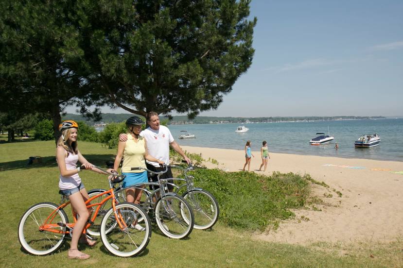
Clinch Park — local attraction, which is located at 111 E Grandview Pkwy, Traverse City, MI 49684, United States and belongs to the category — park. Average visitor rating for this place — 4.6 (according to 2006 ratings, information from open sources and relevant for 2022).
Exact location — Clinch Park, marked on the map with a red marker.
You can get directions to Clinch Park on the map from your location.
What else is interesting in Traverse City? You can see all the sights if you go to the city page.
Coordinates
Clinch Park, United States coordinates in decimal format: latitude — 44.765747100871565, longitude — -85.62158537491638. When converted to degrees, minutes, seconds Clinch Park has the following coordinates: 44°45′56.69 north latitude and -85°37′17.71 east longitude.
Nearby cities
The largest cities that are located nearby:
- Green Bay — 191 km
- Grand Rapids — 199 km
- Lansing — 241 km
- Flint — 249 km
- Milwaukee — 265 km
- Ann Arbor — 314 km
- Sterling Heights — 320 km
- Warren — 327 km
- Detroit — 341 km
- Windsor
 (Canada) — 343 km
 - South Bend — 345 km
- Madison — 358 km
- Chicago — 359 km
- Toledo — 383 km
- Naperville — 393 km
- Rockford — 396 km
- Aurora — 400 km
- London (Canada) — 405 km
- Fort Wayne — 409 km
Distance to the capital
Distance to the capital (Washington) is about — 964 km.