 Warner Robins
Wantagh
Bethel
Misty Hill Farm
United States
Wakonda Beach (R33) Airport
Wilmington
Poland
Miami International Airport
Warner Robins
Wantagh
Bethel
Misty Hill Farm
United States
Wakonda Beach (R33) Airport
Wilmington
Poland
Miami International Airport
Wings Over the Rockies Air & Space Museum on the map, Denver, United States
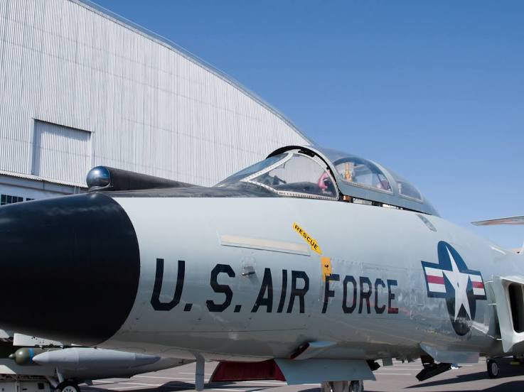
Photo
Where is located Wings Over the Rockies Air & Space Museum
Wings Over the Rockies Air & Space Museum — local attraction, which is located at 7711 E Academy Blvd, Denver, CO 80230, United States and belongs to the category — museum. Average visitor rating for this place — 4.7 (according to 3117 ratings, information from open sources and relevant for 2022).
Exact location — Wings Over the Rockies Air & Space Museum, marked on the map with a red marker.
You can get directions to Wings Over the Rockies Air & Space Museum on the map from your location.
What else is interesting in Denver? You can see all the sights if you go to the city page.
Coordinates
Wings Over the Rockies Air & Space Museum, United States coordinates in decimal format: latitude — 39.72085354426202, longitude — -104.89557187507563. When converted to degrees, minutes, seconds Wings Over the Rockies Air & Space Museum has the following coordinates: 39°43′15.07 north latitude and -104°53′44.06 east longitude.
Nearby cities
The largest cities that are located nearby:
- Lakewood — 9 km
- Arvada — 11 km
- Westminster — 11 km
- Aurora — 13 km
- Thornton — 14 km
- Fort Collins — 94 km
- Colorado Springs — 101 km
- Pueblo — 167 km
- Albuquerque — 535 km
- Provo — 566 km
- Valencia — 568 km
- Amarillo — 575 km
- Salt Lake City — 589 km
- West Jordan — 591 km
- West Valley City — 597 km
- Lincoln — 705 km
- Wichita — 707 km
- Lubbock — 740 km
- Omaha — 766 km
Distance to the capital
Distance to the capital (Washington) is about — 2389 km.