 Warner Robins
Wantagh
Bethel
Misty Hill Farm
United States
Wakonda Beach (R33) Airport
Wilmington
Poland
Miami International Airport
Warner Robins
Wantagh
Bethel
Misty Hill Farm
United States
Wakonda Beach (R33) Airport
Wilmington
Poland
Miami International Airport
Riverfront Park on the map, Charleston, United States
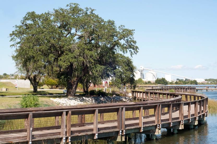
Photo
Where is located Riverfront Park
Riverfront Park — local attraction, which is located at 1061 Everglades Ave, North Charleston, SC 29405, United States and belongs to the category — park. Average visitor rating for this place — 4.7 (according to 1914 ratings, information from open sources and relevant for 2022).
Exact location — Riverfront Park, marked on the map with a red marker.
You can get directions to Riverfront Park on the map from your location.
What else is interesting in Charleston? You can see all the sights if you go to the city page.
Coordinates
Riverfront Park, United States coordinates in decimal format: latitude — 32.82442363810039, longitude — -79.9477921470773. When converted to degrees, minutes, seconds Riverfront Park has the following coordinates: 32°49′27.93 north latitude and -79°56′52.05 east longitude.
Nearby cities
The largest cities that are located nearby:
- Savannah — 134 km
- Columbia — 169 km
- Fayetteville — 269 km
- Charlotte — 283 km
- Jacksonville — 316 km
- Cary — 349 km
- Raleigh — 352 km
- Greensboro — 365 km
- Durham — 368 km
- Winston-Salem — 368 km
- Gainesville — 415 km
- Atlanta — 424 km
- Tallahassee — 489 km
- Orlando — 489 km
- Knoxville — 501 km
- Chesapeake — 547 km
- Chattanooga — 548 km
- Norfolk — 554 km
- Hampton — 567 km
Distance to the capital
Distance to the capital (Washington) is about — 726 km.