 Warner Robins
Wantagh
Bethel
Misty Hill Farm
United States
Wakonda Beach (R33) Airport
Wilmington
Poland
Miami International Airport
Warner Robins
Wantagh
Bethel
Misty Hill Farm
United States
Wakonda Beach (R33) Airport
Wilmington
Poland
Miami International Airport
Stage Fort Park on the map, Gloucester, United States
Photo
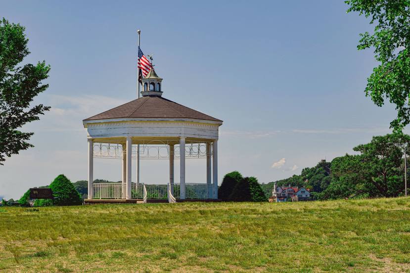
Where is located Stage Fort Park
Stage Fort Park — local attraction, which is located at 24 Hough Ave, Gloucester, MA 01930, United States and belongs to the category — park. Average visitor rating for this place — 4.7 (according to 1811 ratings, information from open sources and relevant for 2022).
Exact location — Stage Fort Park, marked on the map with a red marker.
You can get directions to Stage Fort Park on the map from your location.
What else is interesting in Gloucester? You can see all the sights if you go to the city page.
Coordinates
Stage Fort Park, United States coordinates in decimal format: latitude — 42.60562104379587, longitude — -70.67750827498645. When converted to degrees, minutes, seconds Stage Fort Park has the following coordinates: 42°36′20.24 north latitude and -70°40′39.03 east longitude.
Nearby cities
The largest cities that are located nearby:
- Boston — 43 km
- Cambridge — 45 km
- Lowell — 53 km
- Manchester — 77 km
- Worcester — 101 km
- Providence — 107 km
- Amherst — 153 km
- Springfield — 168 km
- Hartford — 192 km
- Waterbury — 230 km
- New Haven — 237 km
- Bridgeport — 263 km
- Stamford — 296 km
- Sherbrooke
 (Canada) — 322 km
 - Yonkers — 328 km
- Paterson — 348 km
- New York — 350 km
- Brooklyn — 351 km
- Newark — 360 km
Distance to the capital
Distance to the capital (Washington) is about — 675 km.