 Warner Robins
Wantagh
Bethel
Misty Hill Farm
United States
Wakonda Beach (R33) Airport
Wilmington
Poland
Miami International Airport
Warner Robins
Wantagh
Bethel
Misty Hill Farm
United States
Wakonda Beach (R33) Airport
Wilmington
Poland
Miami International Airport
Craig Ranch Regional Park on the map, North Las Vegas, United States
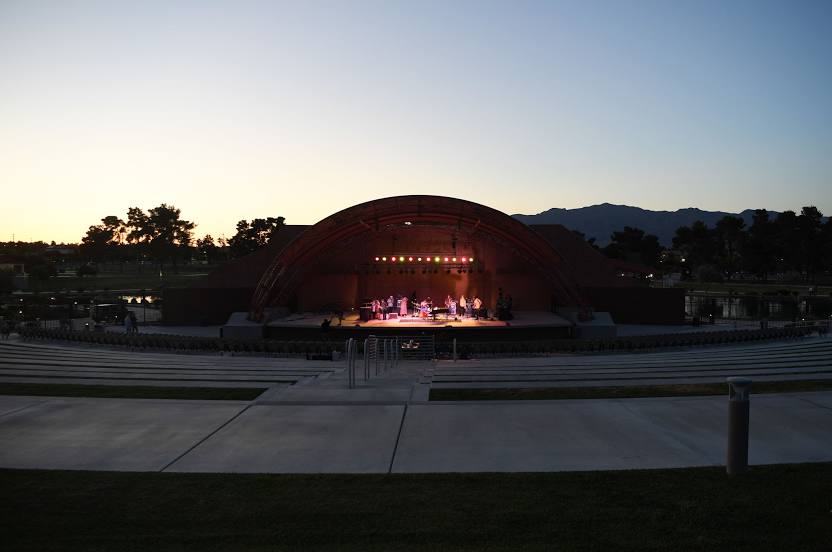
Photo
Where is located Craig Ranch Regional Park
Craig Ranch Regional Park — local attraction, which is located at 628 W Craig Rd, North Las Vegas, NV 89032, United States and belongs to the category — park. Average visitor rating for this place — 4.6 (according to 4810 ratings, information from open sources and relevant for 2022).
Exact location — Craig Ranch Regional Park, marked on the map with a red marker.
You can get directions to Craig Ranch Regional Park on the map from your location.
What else is interesting in North Las Vegas? You can see all the sights if you go to the city page.
Coordinates
Craig Ranch Regional Park, United States coordinates in decimal format: latitude — 36.243403841837385, longitude — -115.15006517517624. When converted to degrees, minutes, seconds Craig Ranch Regional Park has the following coordinates: 36°14′36.25 north latitude and -115°9′0.23 east longitude.
Nearby cities
The largest cities that are located nearby:
- Las Vegas — 4 km
- Spring Valley — 15 km
- Henderson — 21 km
- San Bernardino — 305 km
- Rialto — 310 km
- Fontana — 315 km
- Moreno Valley — 316 km
- Lancaster — 323 km
- Rancho Cucamonga — 324 km
- Riverside — 324 km
- Palmdale — 326 km
- Ontario — 331 km
- Pomona — 338 km
- Corona — 341 km
- West Covina — 350 km
- El Monte — 356 km
- Pasadena — 358 km
- Bakersfield — 363 km
- Fullerton — 364 km
Distance to the capital
Distance to the capital (Washington) is about — 3348 km.