 Schiller Park
Concord
Stringtown
Sisters
Cherry Hill
Egg Harbor Township
Hammonton
Tuckerton
Roseburg
Kingsport
Laurinburg
Conover
Mooresville
Mount Holly
Kings Mountain
Piedmont
Ravenel
Lenoir
Spartanburg
Schiller Park
Concord
Stringtown
Sisters
Cherry Hill
Egg Harbor Township
Hammonton
Tuckerton
Roseburg
Kingsport
Laurinburg
Conover
Mooresville
Mount Holly
Kings Mountain
Piedmont
Ravenel
Lenoir
Spartanburg
North Las Vegas on the map, United States
Where is located North Las Vegas
Exact location — North Las Vegas, Clark County, Nevada, United States, marked on the map with a red marker.
Coordinates
North Las Vegas, United States coordinates in decimal format: latitude — 36.1988592, longitude — -115.1175013. When converted to degrees, minutes, seconds North Las Vegas has the following coordinates: 36°11′55.89 north latitude and -115°7′3 east longitude.
Population
North Las Vegas, Clark County, Nevada, United States, according to our data the population is — 165,416 residents, which is about 0% of the total population of the country (United States).
Comparison of the population on the graph:
Exact time
Time zone for this location North Las Vegas — UTC -7 America/Los_Angeles. Exact time — thursday, 4 april 2024 year, 21 h. 39 minutes.
Sunrise and sunset
North Las Vegas, sunrise and sunset data for a date — thursday 25.04.2024.
| Sunrise | Sunset | Day (duration) |
|---|---|---|
| 05:56 -1 minute | 19:20 +1 minute | 13 h. 24 minutes. +2 minutes |
You can control the scale of the map using the auxiliary tools to find out exactly where it is located North Las Vegas. When you change the scale of the map, the width of the ruler also changes (in kilometers and miles).
Nearby cities
The largest cities that are located nearby:
- Las Vegas — 4 km
- Spring Valley — 15 km
- Henderson — 21 km
- San Bernardino — 305 km
- Rialto — 310 km
- Fontana — 315 km
- Moreno Valley — 316 km
- Lancaster — 323 km
- Rancho Cucamonga — 324 km
- Riverside — 324 km
- Palmdale — 326 km
- Ontario — 331 km
- Pomona — 338 km
- Corona — 341 km
- West Covina — 350 km
- El Monte — 356 km
- Pasadena — 358 km
- Bakersfield — 363 km
- Fullerton — 364 km
Distance to neighboring capitals:
- Mexico City
 (Mexico) — 2432 km
 - Belmopan
 (Belize) — 3340 km
 - Guatemala City
 (Guatemala) — 3424 km
 - Ottawa
 (Canada) — 3435 km
 - Nuuk
 (Greenland) — 5165 km
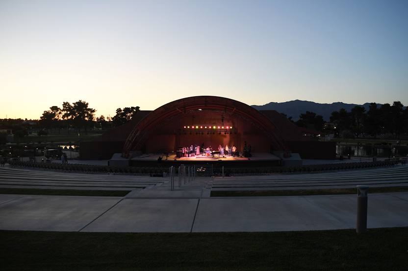
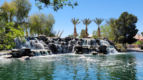
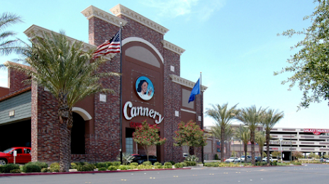
Attractions

Distance to the capital
Distance to the capital (Washington) is about — 3347 km.