 Clearfield
York
Gratz
Mechanicsburg
Medina
Wadsworth
Medford
New Castle
Bridgeville
Hamilton
Kinston
Syosset
Oxnard
Mandeville
North Las Vegas
Plainsboro Township
Westampton
Novi
Cranbury Township
Clearfield
York
Gratz
Mechanicsburg
Medina
Wadsworth
Medford
New Castle
Bridgeville
Hamilton
Kinston
Syosset
Oxnard
Mandeville
North Las Vegas
Plainsboro Township
Westampton
Novi
Cranbury Township
Cherry Hill on the map, United States
Where is located Cherry Hill
Exact location — Cherry Hill, Camden County, New Jersey, United States, marked on the map with a red marker.
Coordinates
Cherry Hill, United States coordinates in decimal format: latitude — 39.926813, longitude — -75.0246312. When converted to degrees, minutes, seconds Cherry Hill has the following coordinates: 39°55′36.53 north latitude and -75°1′28.67 east longitude.
Population
Cherry Hill, Camden County, New Jersey, United States, according to our data the population is — 70,475 residents, which is about 0% of the total population of the country (United States).
Comparison of the population on the graph:
Exact time
Time zone for this location Cherry Hill — UTC -4 America/New_York. Exact time — friday, 4 april 2024 year, 17 h. 10 minutes.
Sunrise and sunset
Cherry Hill, sunrise and sunset data for a date — friday 26.04.2024.
| Sunrise | Sunset | Day (duration) |
|---|---|---|
| 06:08 -2 minutes | 19:46 +1 minute | 13 h. 36 minutes. +3 minutes |
You can control the scale of the map using the auxiliary tools to find out exactly where it is located Cherry Hill. When you change the scale of the map, the width of the ruler also changes (in kilometers and miles).
Nearby cities
The largest cities that are located nearby:
- Philadelphia — 12 km
- Toms River — 70 km
- Edison — 83 km
- Allentown — 85 km
- Elizabeth — 106 km
- Newark — 114 km
- Brooklyn — 121 km
- New York — 122 km
- Paterson — 131 km
- Yonkers — 146 km
- Baltimore — 153 km
- Stamford — 176 km
- Bridgeport — 206 km
- Alexandria — 214 km
- New Haven — 232 km
- Waterbury — 243 km
- Hartford — 280 km
- Springfield — 313 km
- Amherst — 337 km
Distance to neighboring capitals:
- Ottawa
 (Canada) — 614 km
 - Belmopan
 (Belize) — 2849 km
 - Nuuk
 (Greenland) — 3092 km
 - Guatemala City
 (Guatemala) — 3195 km
 - Mexico City
 (Mexico) — 3239 km
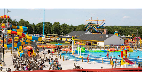
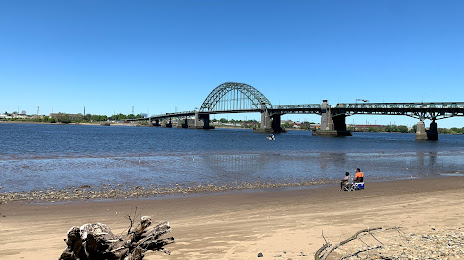
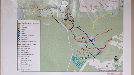
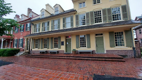
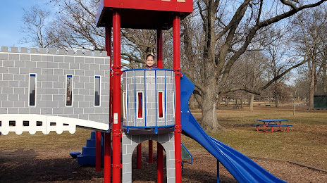
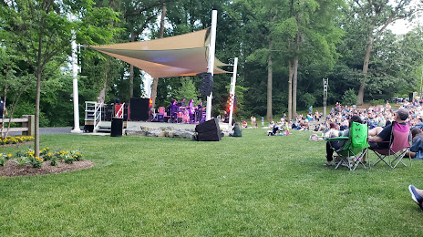
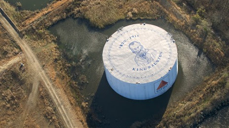
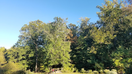
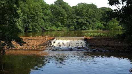
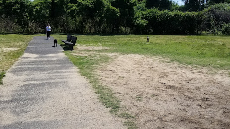
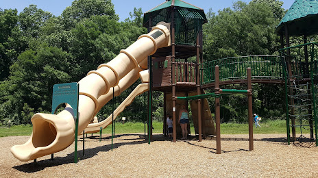
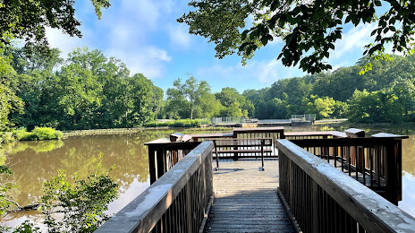
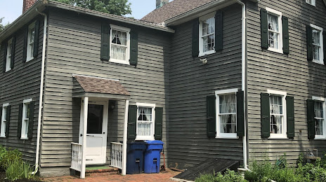
Attractions


Distance to the capital
Distance to the capital (Washington) is about — 207 km.